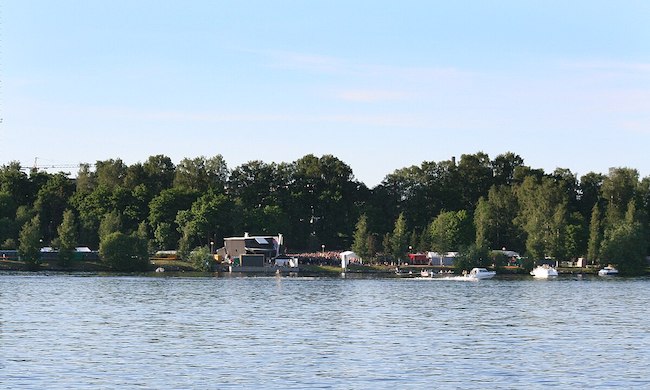
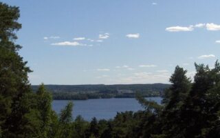
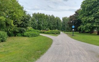
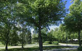
This route is a scenic exploration of the south waterfront section of Tampere, featuring parks and paths along Pyhäjärvi Lake. There are good options to combine with other Tampere waterfront routes.
Start near the Ratina Bridge, and follow the Eteläpuiston rantapolku path through Southern Park (Eteläpuisto) for up to 2.6 km to Atlaspuisto Park. It’s a fairly narrow path along the lake, with trees and water views. For the return, retrace your steps and conclude the route with a lap around Ratinan suvanto, including the Laukonsilta pedestrian bridge. There’s a running track at Tampere Stadium
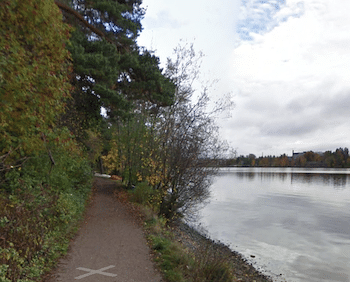
Eteläpuiston rantapolku. Google Street View
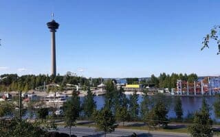
Add-Ons: Additional waterfront paths: north along our central Tampere Tammerkoski rapids path; or south to Vihilahti Park
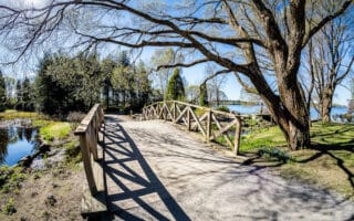
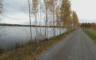
This route is a scenic exploration of the south waterfront section of Tampere, featuring parks and paths along Pyhäjärvi Lake. There are good options to combine with other Tampere waterfront routes.
Start near the Ratina Bridge, and follow the Eteläpuiston rantapolku path through Southern Park (Eteläpuisto) for up to 2.6 km to Atlaspuisto Park. It’s a fairly narrow path along the lake, with trees and water views. For the return, retrace your steps and conclude the route with a lap around Ratinan suvanto, including the Laukonsilta pedestrian bridge. There’s a running track at Tampere Stadium
Eteläpuiston rantapolku. Google Street View
Add-Ons: Additional waterfront paths: north along our central Tampere Tammerkoski rapids path; or south to Vihilahti Park
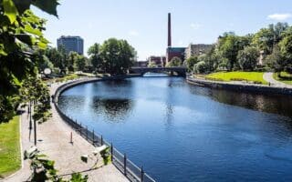
This 5 km run explores the central part of Tampere, on waterfront paths & parks along the Tammerkoski rapids. There are good options to add more waterfront running. Includes Koskipuisto Park, Näsi Park, & scenic pedestrian bridges.
A scenic exploration of the north waterfront section of Tampere, featuring parks and paths along Lake Näsi. There are a couple of especially scenic boardwalk sections. Shorter and longer options, and opportunities to combine with other waterfront routes.
Scenic nature preserve just above Pyhäjärvi Lake in the western part of Tampere. Several km of wide, mainly wooded trails. A popular route is the 4 km nature trail that starts at the observation tower. Can combine with our Pyhäjärvi Lake route along the shore.
Scenic route along Viinikanlahti Bay as far as Vihilahti Park. It's a dedicated waterfront path the whole way, with additional paths in the several parks along the routes. A highlight is the Hatanpää Park Arboretum.
This route explores several parks in eastern Tampere, primarily in the Tammela & Kaleva districts. Paths in Sorsapuisto, Liisanpuisto, Kiovanpuisto, Litukanpuisto, Osmonpuisto & more. Puisto=Park.
A pleasant 5 km route through a couple of parks and along a section of Lake Lides, in southern Tampere. It's in the Viinikka & Nekela Districts. Can be combined with our Eastern Tampere parks route for a longer run.
Nice paths for running along the shores of Lake Näsijärvi in the Lentävänniemi district in the northwestern part Tampere. Mainly dirt paths, combination of open and wooded, with some lake views. Overall the route has two 'sections', for a total distance of 8 km.
Head to Kauppi in eastern Tampere for some nice trail running on leafy forest trails. The area has a popular sports complex, a marina/beach, & public saunas. There are 32 km of trails, including a nature trail. Bonus: many trails are lit at night!
Share your feedback on this route and see that of other Great Runs users. Click on the image icon to upload a photo. And please let us know if there are notes or changes we should incorporate!

Review or Comment on This Route/Share a Photo!
Share your feedback on this route and see that of other Great Runs users. Click on the image icon to upload a photo. And please let us know if there are notes or changes we should incorporate!