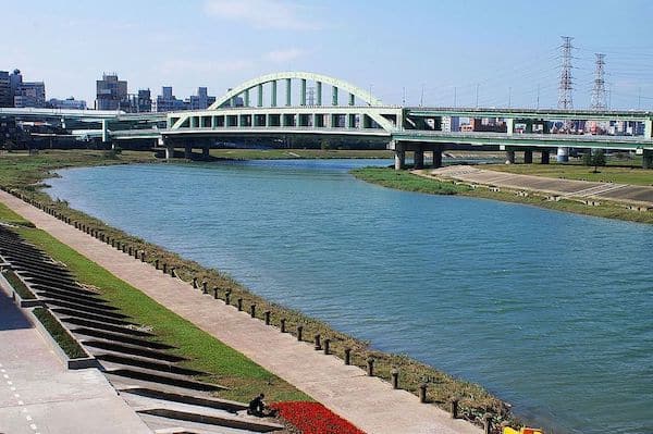
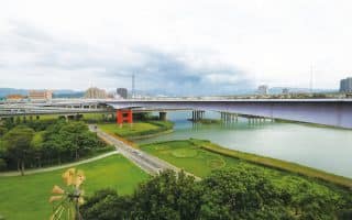
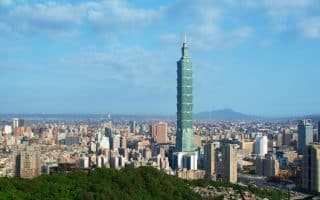
One of the most popular runs in Taipei is along the series of paths on the Keelung River, most of them through parks. There are dedicated paths on both the south side (left bank) and the north side (right bank), with several bridges that can be crossed by pedestrians to form loops of varying lengths. There are good river views, several parks, and access from hotels and Taipei 101 where lots of visitors stay, especially the south side. Good restroom facilities along the way. Note: on path access from the south, you’ll need to use stairs that climb over the flood wall every km or so — see the dotted lines on the map.
Distances from Dajia Riverside Park (south side) near Taipei Fine Arts Museum, heading east. We’ve mapped a loop of up to 16.6 km using both banks.
4.2 km: Rt. 1/Yingfeng Dog Park
5.0 km: Minquan Bridge— good crossover
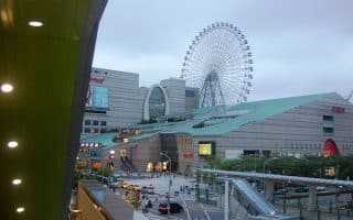
7.7 km: Rainbow Bridge/Night Market
8.0 km: Chengmai Bridge/Chegmei Riverside Park
There’s a running track at Neihu Sports Park on the north bank.
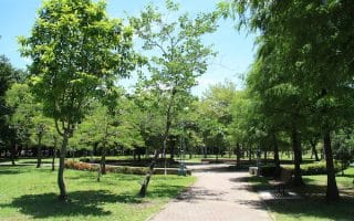
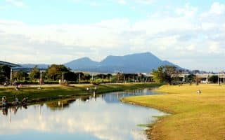
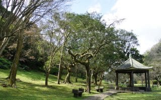
Add-Ons: Additional paths in the numerous parks off the main river path.

Review or Comment on This Route/Share a Photo!
Share your feedback on this route and see that of other Great Runs users. Click on the image icon to upload a photo. And please let us know if there are notes or changes we should incorporate!