Features:
Categories:
Markham is located 30 km northeast of downtown Toronto, and is the largest city in the York Region. The best places to run in Markham are several linear park type trails.
Waterway Path. Not a long run, but centrally located 1 km from the Civic Centre area. A paved, 2.3 km multi-use path alongside a creek, passing through several small parks. A nice oasis of green near the centre. ROUTE MAP

Toogood Park Area. Too good of a run? We couldn’t resist… There’s some nice running on paths around several parks in Markham and Unionville. Toogood Pond Park is a nicely landscaped park with mature trees and a ~3 km perimeter trail. For a longer run, continue at the southern end of the park for 2.5 km through Denby Valley and Midred Temple Park to the Markham Pan Am Centre sports complex, where there’s a running track. A nice ribbon of green between Main St. & busy Kennedy Rd. At Denby Valley, you can also connect to the Austin Drive Park trail (below).
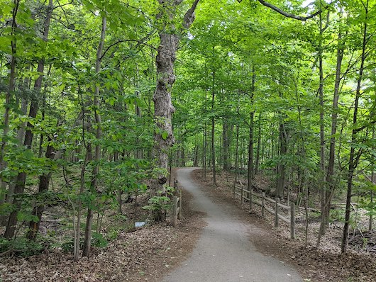
Austin Drive Park & Rouge Valley Trail. Just east of Kennedy Rd., a longer, green run is possible on a wide, gravel, mainly wooded trail through several parks. Take the trail through Austin Drive Park headed east, along the Rouge River, for up to 7.5 km east to Fairway Vista Park. You’ll pass through passing through Campbell Park and Milne Dam Conservation Park. Cross the Markham Dam/Markham Rd. where the Rouge Valley Trail continues through Rouge Valley Park for another 2.5 km into Fairway Vista Park. ROUTE MAP


Comment on this Route/Share a Photo!
Share your feedback on this route and see that of other Great Runs users. Click on the image icon to upload a photo. And please let us know if there are notes or changes we should incorporate!