Vaughan is one of the main towns in the municipality of York and has been a fast-growing suburb of Toronto. The best places to run in Vaughan are:
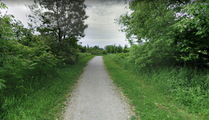
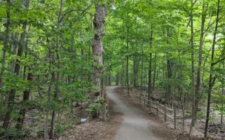
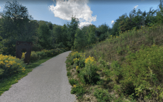
Trail South to North York. The best bet for an off-road run in York is a gravel path that follows a creek for several km south toward North York. Starting around Routley Park, run south on the path for several km, following a creek and passing through several small parks. It’s narrow in sections, and mainly wooded.
It’s 4 km to Langstaff Park (brief road section on Planchet Rd. at 3.3 km), and 7 km to Highway 407. The path crosses the road and continues south, following Dufferin St. for another 2 km to Steeles Ave., where there additional paths in a series of parks in North York, starting with G Ross Lord Park and continuing into the West Don Parkland. ROUTE MAP
Review or Comment on This Route/Share a Photo!
Share your feedback on this route and see that of other Great Runs users. Click on the image icon to upload a photo. And please let us know if there are notes or changes we should incorporate!