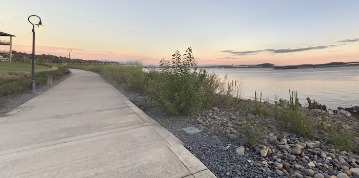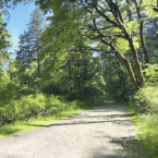
The Columbia River Renaissance Trail is one of the signature runs in Vancouver. This ~5 mile trail — a combination on and off-road path — has great views of the Columbia River and Mount Hood. It’s also fun to combine with a loop around Fort Vancouver, other historic spots downtown, or with the Oregon-Washington Bridge to Hayden Island for an even longer run. Bonus: much of the trail is lit at night!
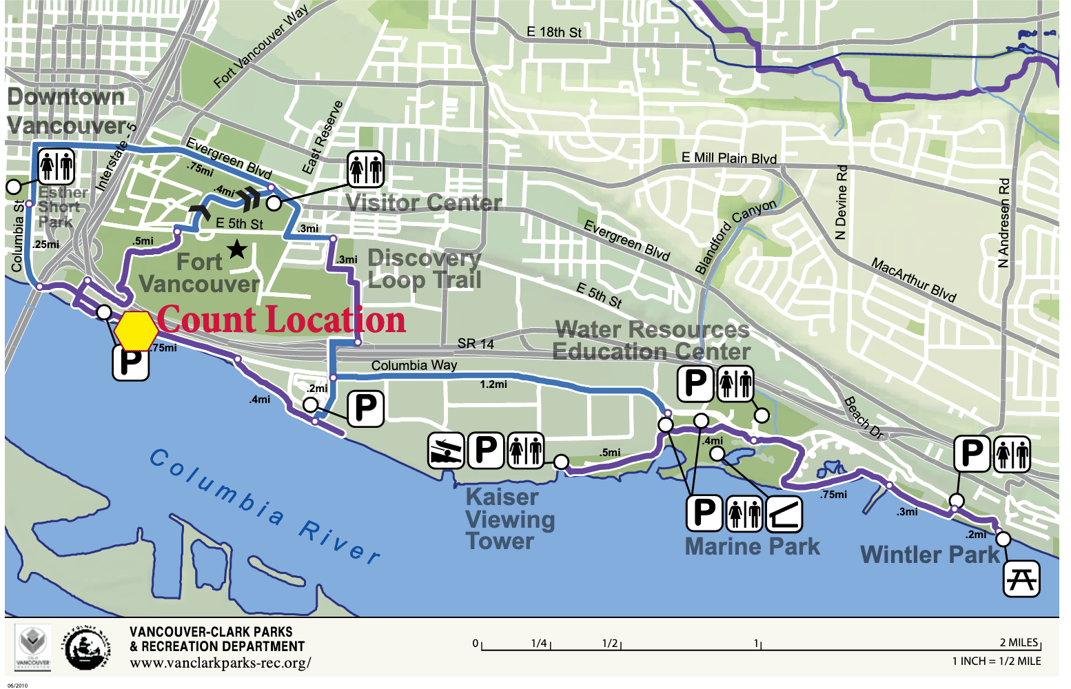
Riverfront Trail. This paved multi-use trail runs between Vancouver Waterfront Park, just west of the Oregon-Washington Bridge, and runs east for nearly 5 miles to Wintler Community Park. There’s a 1.5 mile section along SE Columbia Way (still part of the path). There are great views of the river, bridge, and Mt. Hood for most of the route. Note: good access from downtown — use the path from Esther Short Park, paralleling Columbia St.

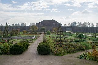
Fort Vancouver. This route can be done separately or as an add-on to the riverfront trail. We’ve mapped a 3.8 mile loop around the fort, from the river path using the iconic Vancouver Land Bridge (pedestrian bridge). The city of Vancouver also has a marked 2.3-mile Discovery Historic Loop at Fort Vancouver, which includes the Fort and other historic/downtown sites: Fort Vancouver, Pearson Air Museum, Providence Academy, Esther Short Park and the Old Apple Tree.
Bridge to Hayden Island. Can connect to the Oregon-Washington Bridge, which connects to Hayden Island and Portland. See our route there.
- River Trail: 4.8 miles (7.7 km) one-way; Fort: 3-4 miles, or use the 2.3 mile Discovery Historic Loop
- River Trail: 98 feet (30m) one-way; Fort Vancuver Loop is 114 feet (34m)
- Any point along river trail. Downtown start: use the path from Esther Short Park, paralleling Columbia St.


Comment on this Route/Share a Photo!
Share your feedback on this route and see that of other Great Runs users. Click on the image icon to upload a photo. And please let us know if there are notes or changes we should incorporate!