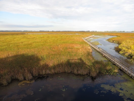
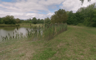
Run in a gorgeous national park at the southernmost point of the Canadian mainland! Point Pelee National Park, about an hour’s drive from Windsor, is a small but lovely park jutting out into Lake Erie. The park is ecologically diverse, with woodland, marsh, and some beaches that are popular in summer. It’s about 8 km from the park entrance to the tip. The park is a major birding area.
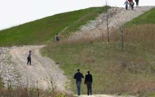
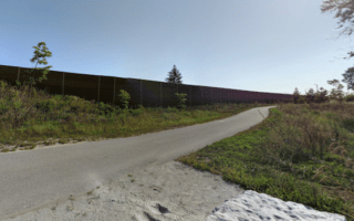
For running, the best options are the several km of trails, which are 1.5 m wide, surfaced with crushed gravel and boardwalks. You might have to combine a couple of them in different areas of the park to stitch together a longer run. This trail map has good information on the trail loop options and distances. There are also some narrower, more rugged footpaths. From this trail page there are also more detailed maps of the individual trails.
Another option is to run on some of the cycle trails. The 6 km Centennial Trail and the 4.5 km Anders Loop are good options. The 8 km Tip Trail is a good option when Tip Road is closed to vehicle traffic and a shuttle bus is used.
Run in a gorgeous national park at the southernmost point of the Canadian mainland! Point Pelee National Park, about an hour’s drive from Windsor, is a small but lovely park jutting out into Lake Erie. The park is ecologically diverse, with woodland, marsh, and some beaches that are popular in summer. It’s about 8 km from the park entrance to the tip. The park is a major birding area.
For running, the best options are the several km of trails, which are 1.5 m wide, surfaced with crushed gravel and boardwalks. You might have to combine a couple of them in different areas of the park to stitch together a longer run. This trail map has good information on the trail loop options and distances. There are also some narrower, more rugged footpaths. From this trail page there are also more detailed maps of the individual trails.
Another option is to run on some of the cycle trails. The 6 km Centennial Trail and the 4.5 km Anders Loop are good options. The 8 km Tip Trail is a good option when Tip Road is closed to vehicle traffic and a shuttle bus is used.


Review or Comment on This Route/Share a Photo!
Share your feedback on this route and see that of other Great Runs users. Click on the image icon to upload a photo. And please let us know if there are notes or changes we should incorporate!