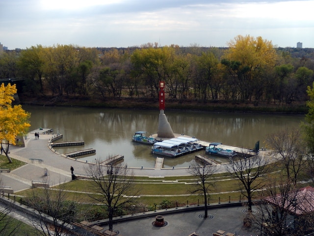
“The Forks” are considered the crown jewels of downtown Winnipeg. Where the Red and Assiniboine Rivers meet, a number of riverfront paths make up one of the most picturesque sections of downtown. There are multiple running options here.
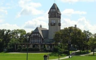
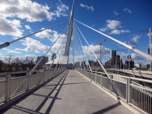 Bridge to Bridge: This is on the northern side of the Assiniboine River, from the Esplanade Riel Bridge (iconic pedestrian bridge) to the Maryland Street Bridge. It’s 3.6 km (2.25 miles) one way. Part of the trail is called the River Walk. Do a there and back, or connect with the Wellington Crescent route for extra mileage, just across the bridge and heading west up to 7 km to Assiniboine Park. This is also a fun run for architecture buffs to check out the local bridges — The Esplanade Riel Bridge is a beautiful cable-stayed pedestrian crossing and one of Winnipeg’s iconic landmarks, as is the Canadian Museum for Human Rights — worth a visit.
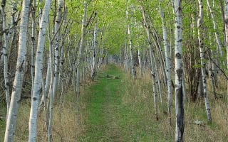
Red River Path. This leaves from the same place and follows the path along the western side of the Red River, through the Forks site, South Point Park, and across the Trans Canada to Churchill Dr. After about 4 km (2.5 miles), the path ends. Turn around, or for a longer run, head along quiet Churchill Dr. for about 3/4 km, rejoining a path that continues another 2.5 km to the end of Churchill Drive Park. It’s 7.3 km (4.6 miles) one way. One could make it even longer by extending north for 2 km on the path from the Riel Bridge, paralleling Waterfront Dr., through Stephen Juba Park and Fort Douglas Park.


Review or Comment on This Route/Share a Photo!
Share your feedback on this route and see that of other Great Runs users. Click on the image icon to upload a photo. And please let us know if there are notes or changes we should incorporate!