Bozeman has an attractive downtown featuring a vibrant main street, pretty residential streets with historic homes, numerous parks and paths, and the attractive campus of Montana State University. Rather than chart a specific route, here are some recommended spots to incorporate into a downtown Bozeman run. These are all interconnected and can be incorporated into some of our other Bozeman routes.
Historic Streets. The part of Main St. with numerous restaurants and shops is from 8th Ave. in the west to Lindley Park in the east. Have fun exploring the pretty, tree-lined residential streets coming off Main St., some featuring historic homes. Among the nicest are Black Ave.. Wilson Ave., Olive St., S. 3rd Ave. The area between Main St. and the MSU campus is really pretty for running, with long east-west and north-south streets.
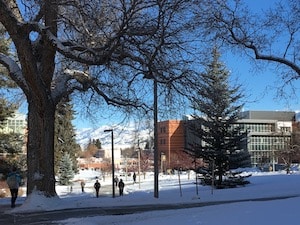
Montana State University. Home to 16,000 students, this campus located just south of Main St. has historic buildings, numerous paths, and an outdoor track at the Bobcat Track and Field Complex off W. Kagy Ave.
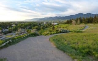
Parks. Lindley Park has trails and is off the Gallagator Linear Trail. Peet’s Hill and the Bozeman Trail come right off the Gallagator Trail near the Library and feature lovely ridgetop running. Grafs Park is 2 miles south of Main St., has nice paths, and is the northern terminus of the Sourdough Trail.
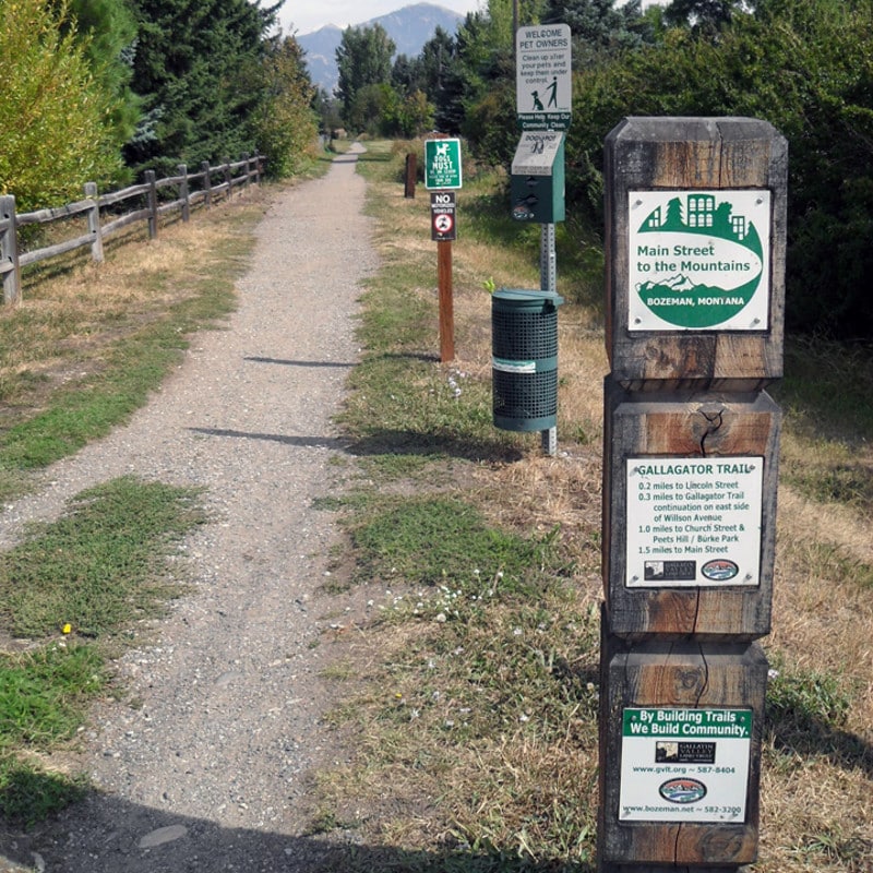
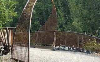
Gallagator Trail. Source: Explore Bozeman
Gallagator Trail. Pleasant gravel linear park path that runs for 1.7 miles from the Museum of the Rockies, north to Main St., passing through Langhor Park, Peets Hill/Burke Park, and Lindley Park. Just south of that is a dirt path that runs along Mill Creek Ditch. MAP
NICE LOOP: For a lovely downtown loop/route, take the Gallagator Trail one-way, then loop back north through the MSU campus and the residential side streets
Bozeman has an attractive downtown featuring a vibrant main street, pretty residential streets with historic homes, numerous parks and paths, and the attractive campus of Montana State University. Rather than chart a specific route, here are some recommended spots to incorporate into a downtown Bozeman run. These are all interconnected and can be incorporated into some of our other Bozeman routes.
Historic Streets. The part of Main St. with numerous restaurants and shops is from 8th Ave. in the west to Lindley Park in the east. Have fun exploring the pretty, tree-lined residential streets coming off Main St., some featuring historic homes. Among the nicest are Black Ave.. Wilson Ave., Olive St., S. 3rd Ave. The area between Main St. and the MSU campus is really pretty for running, with long east-west and north-south streets.
Montana State University. Home to 16,000 students, this campus located just south of Main St. has historic buildings, numerous paths, and an outdoor track at the Bobcat Track and Field Complex off W. Kagy Ave.
Parks. Lindley Park has trails and is off the Gallagator Linear Trail. Peet’s Hill and the Bozeman Trail come right off the Gallagator Trail near the Library and feature lovely ridgetop running. Grafs Park is 2 miles south of Main St., has nice paths, and is the northern terminus of the Sourdough Trail.
Gallagator Trail. Source: Explore Bozeman
Gallagator Trail. Pleasant gravel linear park path that runs for 1.7 miles from the Museum of the Rockies, north to Main St., passing through Langhor Park, Peets Hill/Burke Park, and Lindley Park. Just south of that is a dirt path that runs along Mill Creek Ditch. MAP
NICE LOOP: For a lovely downtown loop/route, take the Gallagator Trail one-way, then loop back north through the MSU campus and the residential side streets
The signature off-road path in downtown Bozeman. Runs from E. Main St. near the public library, south for 1.7 miles to the Museum of the Rockies. Flat and very pretty, passing through three parks. Numerous add-on/loop options.
Popular 4-mile loop following the Bozeman Trail, which includes a short but steep climb of Peet's Hill for great views, and the so-called 'Holly Cherry' loop. Numerous options to vary and add-on. HILLY!
Gravel path located in at the southern end of Bozeman, running from Grafs Park for 1.7 miles through Gardner Park, to Tuckerman Park. Combination of open fields and tree shaded areas. For longer run, Gallagator Trail is just north.
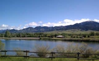
Pleasant park located 3 miles northwest of downtown, featuring ~2 miles of flat, gravel trails making a figure eight around two ponds. Nice mountain views, and swimming in summer! Residential streets north and south of the park are good add-on.
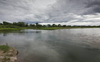
A great spot for a run and a swim in Bozeman! Located 3 miles north of town, the East Gallatin Recreation area features miles of trails looping around a pond and along the Gallatin River. Post-run, head to the beach and enjoy the water.
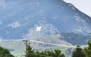
A short but challenging hike/run to a fun destination: the hilltop College 'M' sign. The 'College M Trail' is a 1.8 mile loop, open and scenic, climbing 800 feet in 1 mile, with 10-11% grades! Other trails in the area, hilly & challenging.
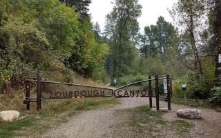
Good opportunity for a long, gradual climb on an old fire road paralleling Sourdough Creek. Mainly wooded, wide dirt road, with 620 foot elevation gain averaging 2.4% grade over 5 miles. Many other fire roads in area for a longer run.
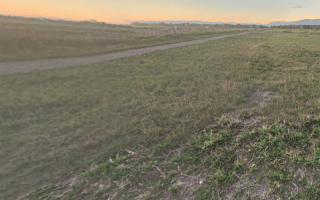
In the Three Forks area, (30 miles northwest of Bozeman), the Headwaters Trail System consists of 12 miles of paved trails running to both the Headwaters State Park and the Jefferson River. Great views of the surrounding mountains and grasslands, ponds and old growth cottonwood trees.
Share your feedback on this route and see that of other Great Runs users. Click on the image icon to upload a photo. And please let us know if there are notes or changes we should incorporate!

Review or Comment on This Route/Share a Photo!
Share your feedback on this route and see that of other Great Runs users. Click on the image icon to upload a photo. And please let us know if there are notes or changes we should incorporate!