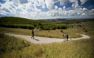
In the northern part of Calgary near the airport, there are some excellent running options on multi-use paths through parks and a cycle path that heads toward downtown.
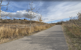
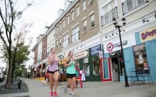
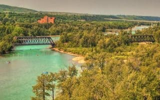
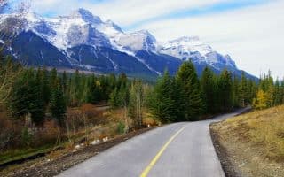
Nose Creek Pathway. This is a paved multi-use path that runs for 10 km from the Telus Center (4 km east of downtown) north to Confluence Park, which is just west of Calgary International Airport. It follows the outline of Nose Creek. From a scenery standpoint, it’s a mixed bag. The nicest sections are the 2-3 km through the Fox Hollow Golf Course.
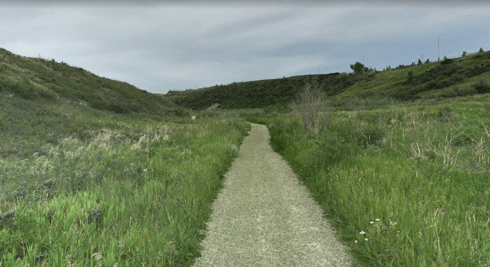
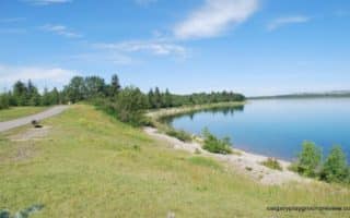
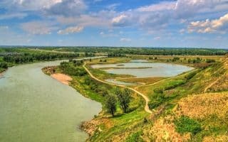
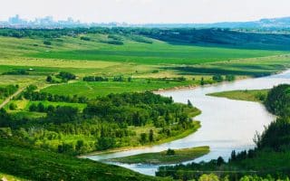
Confluence Park/Nose Creek Parkway. A series of paved and gravel paths run through several parks just west of the airport. This is scenic running through grassland/prairie terrain. Starting at Confluence Park, run northwest for up to 7.5 km one-way, through Nose Creek Parkway park, around Panorama Hills, and Hidden Valley Park.
In the northern part of Calgary near the airport, there are some excellent running options on multi-use paths through parks and a cycle path that heads toward downtown.
Nose Creek Pathway. This is a paved multi-use path that runs for 10 km from the Telus Center (4 km east of downtown) north to Confluence Park, which is just west of Calgary International Airport. It follows the outline of Nose Creek. From a scenery standpoint, it’s a mixed bag. The nicest sections are the 2-3 km through the Fox Hollow Golf Course.
Confluence Park/Nose Creek Parkway. A series of paved and gravel paths run through several parks just west of the airport. This is scenic running through grassland/prairie terrain. Starting at Confluence Park, run northwest for up to 7.5 km one-way, through Nose Creek Parkway park, around Panorama Hills, and Hidden Valley Park.


Review or Comment on This Route/Share a Photo!
Share your feedback on this route and see that of other Great Runs users. Click on the image icon to upload a photo. And please let us know if there are notes or changes we should incorporate!