Features:
Categories:
This is a nice run in the southeastern part of Aalborg that combines three elements: Bundgårdsparken; paths around Aalborg University; and the small Gug Alper hiking area. Run them separately or combine for a longer run. We’ve mapped a one-way route using the good network of pedestrian and cycle paths to connect these areas.


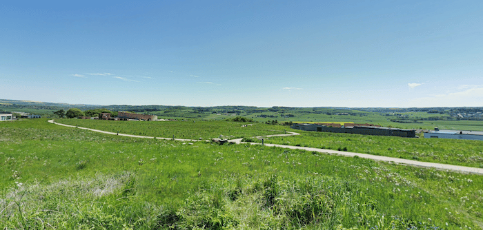
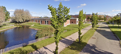
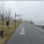
Start at Bundgårdsparken, a narrow park with a nice, 1.1 km path passing the Fireworks wood sculpture. Cross the main road, continuing south into Aalborg University, and run on the paths around the campus. Connect to the main east-west path through the campus, and head 1 km west. Continue onto the Panstien path headed west for ~2 km into the Gug Alper, a small hiking area with some hilly trails around an open, grassy area. There are nice views.
Overall, it’s 6.6 km one-way, so the route can be modified for those who’d like a shorter run.
- Mapped route is up to 6.6 km (4.1 miles) one-way
- 56m (183 feet)
- Bundgårdsparken, or at the University
- Bus access. Parking at the University


Comment on this Route/Share a Photo!
Share your feedback on this route and see that of other Great Runs users. Click on the image icon to upload a photo. And please let us know if there are notes or changes we should incorporate!