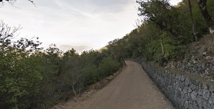
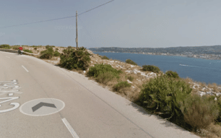
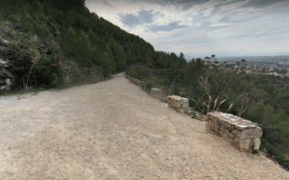
The beautiful Font Roja Natural Park is a popular inland nature preserve, famous for its numerous species of aromatic herbs, green countryside, mountains and the crystal-clear Vinalopo river. It’s a popular spot for hiking and cycling. It’s also great for running, though it is very hilly. There are wide gravel paths with excellent footing that from the Tourist Information Center to the Serra del Menejador, sort of the summit/ridge, through a shaded, bucolic Mediterranean forest.
There are two routes, which we’ve mapped separately but can be combined for an ambitious 14.5 km loop. Route 1 heads west of the information center toward the Mirador de Pilatos (viewpoint), and is nearly 7 km one-way, 300m elevation gain with some steeper grades. The eastward route is 7.6 km, starting on CV-797 road and winds around to the south, and features a similar elevation gain. Of course, you can always just choose a section of path, or do a combo run/hike.


Review or Comment on This Route/Share a Photo!
Share your feedback on this route and see that of other Great Runs users. Click on the image icon to upload a photo. And please let us know if there are notes or changes we should incorporate!