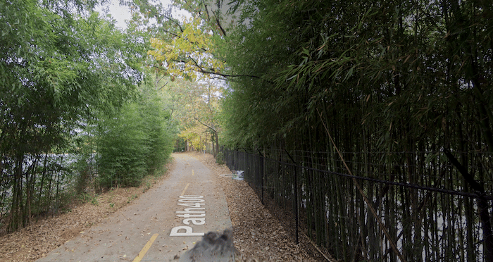
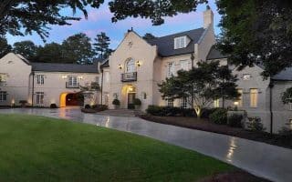
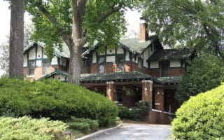
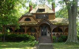
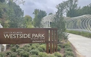
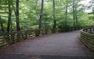
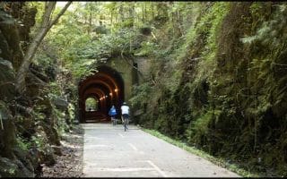
Path400 is a paved multi-use trail that runs along the spine of GA 400. The idea of it is to be a 5.2 mile greenway through the heart of Buckhead, connecting neighborhoods, office and retail locations. Path 400 is a work in progress. As of 2024, about 4 miles are complete, including a couple of road connections. We wouldn’t call it beautiful or bucolic, but it’s a good alternative to the busy tangle of non-pedestrian friendly roads in this upscale neighborhood. There’s a larger master plan for a planned network of 106 acres of parks and trails in the Buckhead. There are mile markers along the way, fitness stations, and some hills for training.
We’ve mapped the mostly completed sections, starting at Lindbergh Dr. & Adina Dr. Head north for 1.9 miles. At East Paces Ferry, there’s an 0.5 mile road connection, using Highland Dr. & Buckhead Loop (also a spur connection to the Lenox MARTA station). Pick up the trail again at Lenox Rd., and follow it for another 1 mile north to Wieuca Rd. An 0.7 mile section from Wieuca to Loridians Park is under construction.


Review or Comment on This Route/Share a Photo!
Share your feedback on this route and see that of other Great Runs users. Click on the image icon to upload a photo. And please let us know if there are notes or changes we should incorporate!