Features:
Categories:
A lot of travelers to Atlanta will find themselves north of the city where there is a large concentration of businesses and hotels. These areas are just off of I-285, including north Buckhead, “Perimeter”, Cumberland, Sandy Springs, Dunwoody, Alpharetta, Roswell, and Suwanee. Note: there are lots of hotels in this area, but many of the main roads to get to these trails aren’t great for running (busy, no sidewalks).
Chastain Park. Atlanta’s third largest park and Buckhead’s premier park, at 268 acres. Off Roswell Rd. in northern part of Buckhead and just inside I-285. Paved, marked trails: two 5k loops (red and blue) and a 3k “yellow” loop. Bonus: Lights along the loop around North Fulton Golf Course. TRAIL MAP
Chattahoochee River Trails: Extensive series of trails in the Chattahoochee River National Recreation Area in Cumberland, just east of I-75 and south of I-285. Running highlights:
- Cochran Shoals. Sandy Springs, near the I-75/I-285 intersection. A 3.1 mile (5k) fitness trail along the banks of the river, through meadows and marshland. Extend the run beyond the loop trail by another 1/2 mile or so, or run another 2.5 miles one-way on the Powers Island Trail on the river’s opposite shore, just across the Interstate North Parkway bridge. There is a parking lot that can fill and costs $3 during the day. There are many hotels and corporate offices in this area.
- Pallisades West Trail Follow ‘biking/hiking’ trail on trailmap from Akers Mill Rd. to Cobb Parkway. Access parking lot from Rt. 41. TRAIL MAP
- Pallisades East Trail. From parking lot for 0.5 miles, then left onto to Rottenwood Creek Trail, paralleling Cumberland Parkway to end: 2 miles. TRAIL MAP
Alpharetta: Big Creek Greenway. 8 miles One-Way. Start: at any point. Hotels & office parks are close to North Point Mall. The best option for a long run in the Roswell/Alpharetta area. 8-mile paved trail meanders along Big Creek, paralleling North Point Parkway, from Windward Parkway at Marconi Drive in the north, south to Mansell Road in Roswell. There are many hotels and the North Point Mall within a mile or two of a place to catch the trail. ROUTE MAP. TRAIL MAP with segment distances.
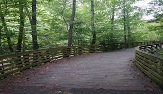
Suwanee: Suwanee Greenway Trail. Paved multi-use path through forest and wetland. It’s 4 miles from George Pierce Park south to Suwanee Creek Park. ROUTE MAP
Kennesaw Mountain National Battlefield Park. This 3,000-acre national park commemorates the Civil War’s Battle of Kennesaw in 1864. There are extensive trails — some smoother and easier, and others more trail runs. One good option is the 5.5 mile loop trail from Cheatham Hill to Kolb Farm. This page has trail information and three trail maps that can be linked to. Park Info.


Comment on this Route/Share a Photo!
Share your feedback on this route and see that of other Great Runs users. Click on the image icon to upload a photo. And please let us know if there are notes or changes we should incorporate!