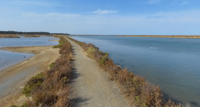
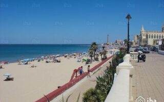
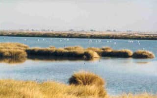
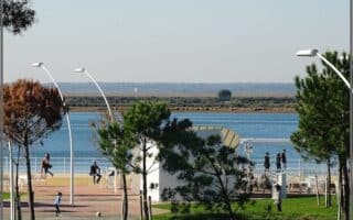
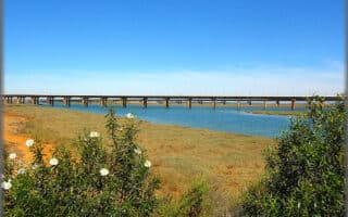
In the area between San Fernando and Cádiz, the Bay of Cádiz Nature Preserve is an intertidal marsh and estuary, and location of now abandoned salt mines. For a unique run, there are 10 km+ of trails winding around the salt mines, with views to to marshes, rivers, and lagoons. This map provides a good overview. Note: exposed, use caution in heat.
North of the CA-33 road, the yellow trail, Sendero la Dolores goes around the Dolores and Roqueto salt mines. The full loop is 6.2 km, though it can be shorted by ~1 km by taking the bisecting path (see trail map). South of the CA-33, the Sendero Tres Amigos follows the Arillo River and a path around the salt mine for 4.5 km. The two can be combined for just over 10 km. (sendero=path)
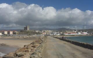
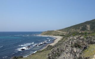
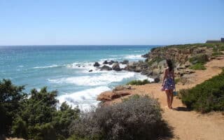
Add-Ons: Numerous other paths in the area, on the Island of Trocadero and Sancti Petri Marshes. Also, good beaches for running. The Natural Park Visitor Center Bay of Cadiz has good info.
In the area between San Fernando and Cádiz, the Bay of Cádiz Nature Preserve is an intertidal marsh and estuary, and location of now abandoned salt mines. For a unique run, there are 10 km+ of trails winding around the salt mines, with views to to marshes, rivers, and lagoons. This map provides a good overview. Note: exposed, use caution in heat.
North of the CA-33 road, the yellow trail, Sendero la Dolores goes around the Dolores and Roqueto salt mines. The full loop is 6.2 km, though it can be shorted by ~1 km by taking the bisecting path (see trail map). South of the CA-33, the Sendero Tres Amigos follows the Arillo River and a path around the salt mine for 4.5 km. The two can be combined for just over 10 km. (sendero=path)
Add-Ons: Numerous other paths in the area, on the Island of Trocadero and Sancti Petri Marshes. Also, good beaches for running. The Natural Park Visitor Center Bay of Cadiz has good info.


Review or Comment on This Route/Share a Photo!
Share your feedback on this route and see that of other Great Runs users. Click on the image icon to upload a photo. And please let us know if there are notes or changes we should incorporate!