 This is a charming, scenic run in Carmel-by-The-Sea — a charming town on the Monterey Peninsula known for its museums and library of the historic Carmel Mission, and the fairytale cottages and galleries of its village-like center. There are a few different parts of the run that can be done separately or stitched together.
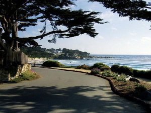
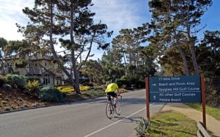
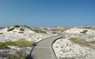
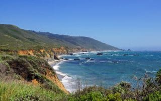
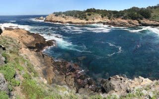
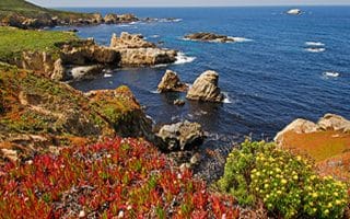
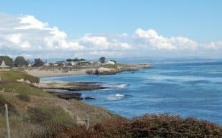
Scenic Road & Bluff Path. The running highlight in the area, the one-way Scenic Road runs the length of the coast just above Carmel Beach — a distance of ~2 miles. There are gorgeous views of the ocean and the high-end homes lining the water here (including the Clinton Walker House, designed by Frank Lloyd Wright). The dirt-surfaced Scenic Bluff Path runs alongside Scenic Rd. for 0.5 miles between 8th Ave. & 13th Ave. Add with Golden Rectangle (below).
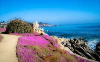
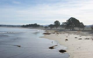
Carmel Beach. Just below Scenic Road, the beach features soft powdery white sand, and can be runnable near the water, especially near low tide.
Golden Rectangle. Add your own self-designed route through this charming neighborhood famous for its 1920s-era fairy-tale cottages. The homes do not have official addresses! The area is outlined by Ocean Ave., Scenic Rd., Santa Lucia Ave., & San Carlos St. It’s ~0.8 miles north-south and 0.5 miles east-west.
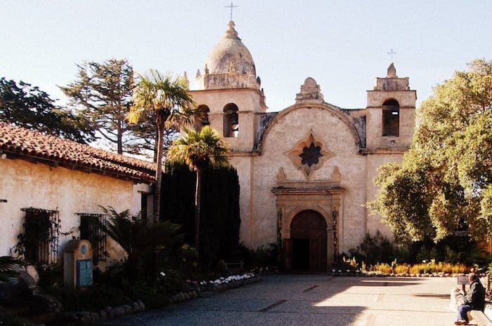
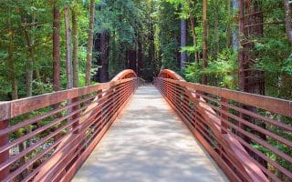
Loop Option Through Mission Trail Park. From the south end of Scenic Rd. use 15th Ave./Dolores St. to run by Carmel Mission Basilica Museum and run on the trails through Mission Trail Park. Dr. This former estate is now a 33-acre preserve, with 5 miles of easy trails through pine & redwood trees. It’s ~0.8 miles north-south through the park. Note: hilly at the south end.

Review or Comment on This Route/Share a Photo!
Share your feedback on this route and see that of other Great Runs users. Click on the image icon to upload a photo. And please let us know if there are notes or changes we should incorporate!