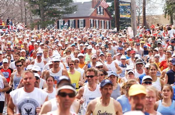
The world’s oldest Marathon is considered one of the ‘Big Four’, along with London, Berlin, and Tokyo. The Boston Marathon is unique and special in many ways, one being the fact that it’s one-way in the 26.2 miles from Hopkinton to Boston. Here, we present the course of the Marathon, which is runnable at any time. There’s a GPX file, and link to a more detailed course guide. The route is quite easy to follow. Not a lot of turns.
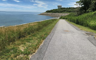
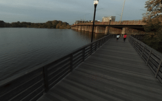
It should be mentioned that the course itself is not especially scenic — in fact it barely touches any of Boston’s most iconic running routes (Charles River, Emerald Necklace, Waterfront). The course has 891 feet of elevation gain, though in the aggregate it’s downhill. Notes on a few particular sections:
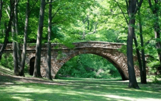
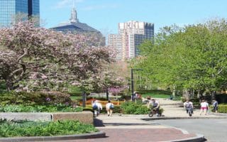
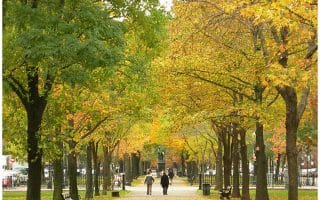
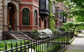
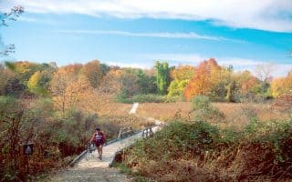
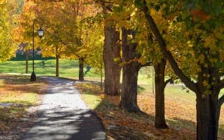
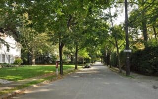
- Most scenic sections. The most scenic sections are through Wellesley and Newton, passing grand homes along a wide, leafy road.
- Heartbreak Hill. Hilly section from the turn onto Comm. Ave. in Newton to Boston College.
- Taste of the Finish: Take the Green Line B Line to Boston College (21.5 mile mark) and run the final 5 miles through Brookline and Back Bay to the finish line.
- Transport Access. To take transport out to course locations: Green Line D Line as far as Woodland, in Newton (17 mile mark); Commuter Rail (Worcester Line) stops at Wellesely Hills, Wellesley Center, Natick, Framingham .
The world’s oldest Marathon is considered one of the ‘Big Four’, along with London, Berlin, and Tokyo. The Boston Marathon is unique and special in many ways, one being the fact that it’s one-way in the 26.2 miles from Hopkinton to Boston. Here, we present the course of the Marathon, which is runnable at any time. There’s a GPX file, and link to a more detailed course guide. The route is quite easy to follow. Not a lot of turns.
It should be mentioned that the course itself is not especially scenic — in fact it barely touches any of Boston’s most iconic running routes (Charles River, Emerald Necklace, Waterfront). The course has 891 feet of elevation gain, though in the aggregate it’s downhill. Notes on a few particular sections:
- Most scenic sections. The most scenic sections are through Wellesley and Newton, passing grand homes along a wide, leafy road.
- Heartbreak Hill. Hilly section from the turn onto Comm. Ave. in Newton to Boston College.
- Taste of the Finish: Take the Green Line B Line to Boston College (21.5 mile mark) and run the final 5 miles through Brookline and Back Bay to the finish line.
- Transport Access. To take transport out to course locations: Green Line D Line as far as Woodland, in Newton (17 mile mark); Commuter Rail (Worcester Line) stops at Wellesely Hills, Wellesley Center, Natick, Framingham .


Review or Comment on This Route/Share a Photo!
Share your feedback on this route and see that of other Great Runs users. Click on the image icon to upload a photo. And please let us know if there are notes or changes we should incorporate!