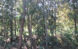
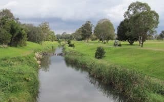
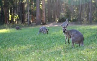
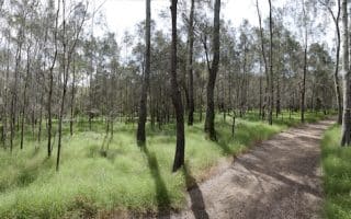
Under a 30 minute drive from Brisbane City, Mt Coot-tha offers over 50 km of trails for those who want to get away from the concrete and run amongst the gumtrees. Although not a high mountain, the peak affords great views of the Brisbane area stretching from Moreton Island, Stradbroke Island, and the southern ranges. The area is very green, and the terrain not overly rugged.
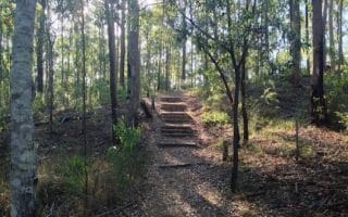
There is something here for every runner’s ability — from flat to hilly. Click here for a complete list of all 70 trails and ratings of each. Many of the routes are short, under 2km, so it’s worth linking a few together. We recommend Summit Track (1.9 km), which not surprisingly takes you to the summit, and Honeyeater Track (2.1 km) for something a bit tougher. Note: this area is popular with mountain bikers, so keep an ear out.
There are various parking and picnic areas which act as trail heads. We recommend the J.C Slaughter Falls picnic area for first timers.
Under a 30 minute drive from Brisbane City, Mt Coot-tha offers over 50 km of trails for those who want to get away from the concrete and run amongst the gumtrees. Although not a high mountain, the peak affords great views of the Brisbane area stretching from Moreton Island, Stradbroke Island, and the southern ranges. The area is very green, and the terrain not overly rugged.
There is something here for every runner’s ability — from flat to hilly. Click here for a complete list of all 70 trails and ratings of each. Many of the routes are short, under 2km, so it’s worth linking a few together. We recommend Summit Track (1.9 km), which not surprisingly takes you to the summit, and Honeyeater Track (2.1 km) for something a bit tougher. Note: this area is popular with mountain bikers, so keep an ear out.
There are various parking and picnic areas which act as trail heads. We recommend the J.C Slaughter Falls picnic area for first timers.


Review or Comment on This Route/Share a Photo!
Share your feedback on this route and see that of other Great Runs users. Click on the image icon to upload a photo. And please let us know if there are notes or changes we should incorporate!