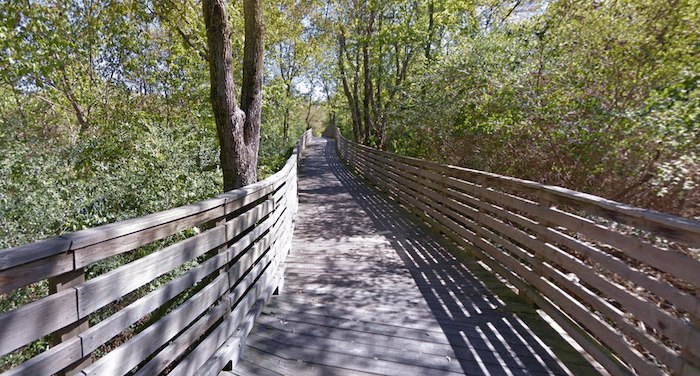
The South Chickamauga Creek Greenway is another great option for a longer off-road run in Chattanooga. The multi-use trail and boardwalk runs parallel to the creek through the middle of metropolitan Chattanooga. The overall vision is for a 12-mile path. Currently, miles 0 through 4 and 7 through 12 are complete, so there’s a 3-mile gap. We’ve mapped each section separately.
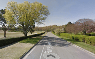
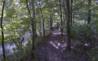
North Segment: Starts at Riverpoint. The northern segment has a lovely boardwalk section. There are creek views part of the way, with some sections blocked by foliage.
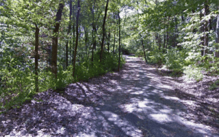
South Segment. Starts at the Shallowford Rd. trailhead, near the airport. The path runs for 3.7 miles south to Camp Jordan Park, where you can then add a nice ~2 mile loop around the park’s fields. There are creek views part of the way, with some sections blocked by foliage.
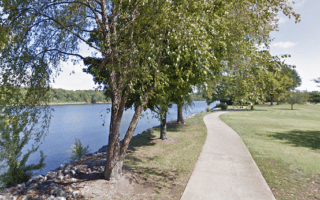
Add-Ons: At the north end of the trail (mile 0) at Riverpoint, the Greenway connects to the Tennessee Riverwalk path.
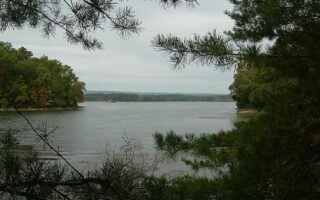
The South Chickamauga Creek Greenway is another great option for a longer off-road run in Chattanooga. The multi-use trail and boardwalk runs parallel to the creek through the middle of metropolitan Chattanooga. The overall vision is for a 12-mile path. Currently, miles 0 through 4 and 7 through 12 are complete, so there’s a 3-mile gap. We’ve mapped each section separately.
North Segment: Starts at Riverpoint. The northern segment has a lovely boardwalk section. There are creek views part of the way, with some sections blocked by foliage.
South Segment. Starts at the Shallowford Rd. trailhead, near the airport. The path runs for 3.7 miles south to Camp Jordan Park, where you can then add a nice ~2 mile loop around the park’s fields. There are creek views part of the way, with some sections blocked by foliage.
Add-Ons: At the north end of the trail (mile 0) at Riverpoint, the Greenway connects to the Tennessee Riverwalk path.


Review or Comment on This Route/Share a Photo!
Share your feedback on this route and see that of other Great Runs users. Click on the image icon to upload a photo. And please let us know if there are notes or changes we should incorporate!