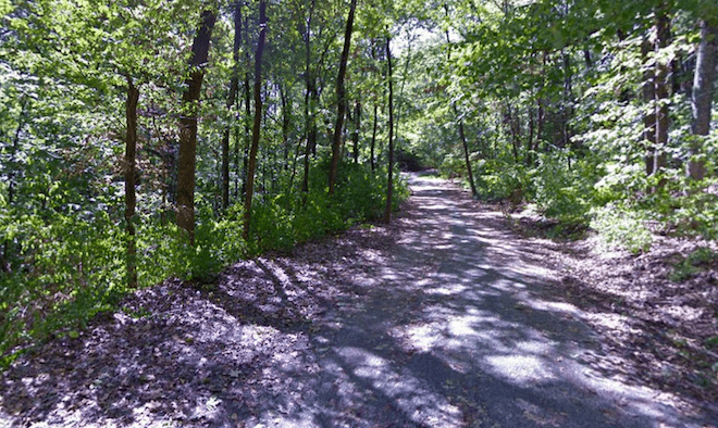
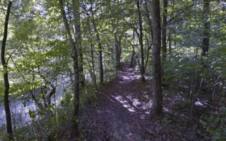
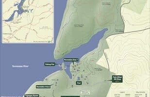
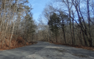
Some hill and trail running right near downtown Chattanooga! The centerpiece of the run is the 92-acre Stringers Ridge, an urban wilderness park featuring 7 miles of trails, popular with mountain bikers and hikers as well. Create your own route in the park, using this trail map as a guideline — focus on the ‘foot traffic only’ trails. A loop of the easier trails is ~1.8 miles. Hilly!
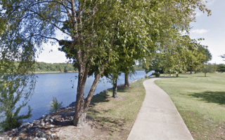
For a longer route, we’ve mapped a 5.5 mile run starting downtown. Cross the Walnut St. pedestrian bridge, and then enjoy a loop of along the paths of Coolidge Park and Reservoir Park. Then head north to Stringers Ridge, using W Bell Ave., to the trailhead. Do a loop of the park, and then return to downtown, using Spears Ave., crossing the Market St. Bridge if you’d like some variety.
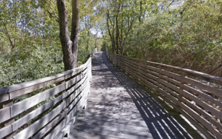
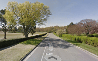
Add-Ons: Additional paths of the Tennessee Riverwalk.
Some hill and trail running right near downtown Chattanooga! The centerpiece of the run is the 92-acre Stringers Ridge, an urban wilderness park featuring 7 miles of trails, popular with mountain bikers and hikers as well. Create your own route in the park, using this trail map as a guideline — focus on the ‘foot traffic only’ trails. A loop of the easier trails is ~1.8 miles. Hilly!
For a longer route, we’ve mapped a 5.5 mile run starting downtown. Cross the Walnut St. pedestrian bridge, and then enjoy a loop of along the paths of Coolidge Park and Reservoir Park. Then head north to Stringers Ridge, using W Bell Ave., to the trailhead. Do a loop of the park, and then return to downtown, using Spears Ave., crossing the Market St. Bridge if you’d like some variety.
Add-Ons: Additional paths of the Tennessee Riverwalk.


Review or Comment on This Route/Share a Photo!
Share your feedback on this route and see that of other Great Runs users. Click on the image icon to upload a photo. And please let us know if there are notes or changes we should incorporate!