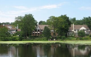
The currently 87-mile (eventually 101-mile) Towpath Trail, running south from Cleveland through the Cuyahoga Valley National Park and far beyond, forms the spine of the trails in the national park. Along the trail, whose northernmost trailhead is located at Scranton Flats, there are historic buildings, museums, pleasant villages, restaurants, pubs, and wildlife. The trail is easily accessible by car, with trailheads every few miles. Almost all of these have bathroom facilities, and water fountains area also available at many of the bigger trailheads.
In the National Park, the mostly gravel trail runs alongside the Cuyahoga Valley Scenic Railroad. The CVSR’s seasonal Bike/Hike Aboard! program (https://www.cvsr.org/bike-
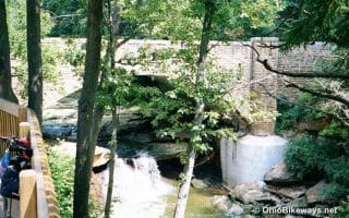
Because the trail runs roughly along the Cuyahoga River, it is for the most part very flat, but the Towpath connects to many other trails in the area that can add challenge or a change of scenery. A connection at the Station Road trailhead leads directly into the Brecksville Reservation, an Emerald Necklace park (https://greatruns.com/
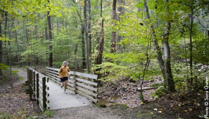
Beyond the Towpath, the National Park also has several other noteworthy trails. One highlight is the Plateau Trail, a 4.4-mile loop (400 feet elevation gain) with starting point near the village of Peninsula. The Valley Trail also stretches over some 25 miles of rolling terrain in the park, with access points at Everett Covered Bridge, Hunt Farm, Wetmore, Boston, and Brecksville Reservation. For a slightly shorter option, the Salt Run Trail is a 3.3-mile loop (160 feet elevation gain) in the eastern half of the park. Beyond these, the National Park also offers an extensive range of other trails, from multi-use trails to more challenging ones.


Review or Comment on This Route/Share a Photo!
Share your feedback on this route and see that of other Great Runs users. Click on the image icon to upload a photo. And please let us know if there are notes or changes we should incorporate!