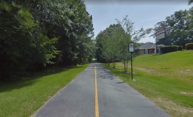
For a longer off-road run in Columbus, Fall Line Trace is a decent option. This paved multi-use Rails-to-Trails path goes for 11 miles from the 14th Street pedestrian bridge in Uptown Columbus and the Psalmond Road Recreation Center in Midland. It’s a commuter type trail, passing through a mix of residential areas, parks, and some wooded sections. The western terminus at the 14th Street pedestrian bridge connects to the Chattahoochee RiverWalk. Note: there are several busy road crossings.
Some key points along the way, headed northeast include:
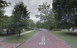
Uptown Columbus – western terminus. Connect to Chattahoochee RiverWalk, and 1.2 mile path in Phenix City, AL.
Columbus State University (4.5 miles). Nice campus for running.
Flat Rock Park (9 miles). Great trail running options.


Review or Comment on This Route/Share a Photo!
Share your feedback on this route and see that of other Great Runs users. Click on the image icon to upload a photo. And please let us know if there are notes or changes we should incorporate!