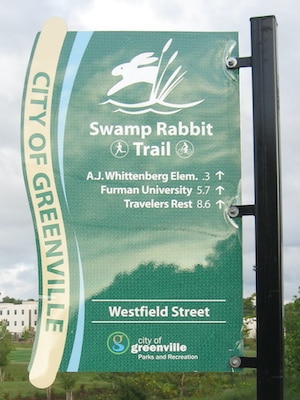
The Swamp Rabbit Trail is a 22-mile paved multi-use greenway that traverses the banks of the Reedy River, an old railroad corridor, and numerous parks. It’s the best spot for a long, off-road run in Greenville. This route is the 11-mile section that heads north of Linky Stone Park, near downtown, to Travelers Rest. Do as much as you like! Our other route heads east along the Reedy to Falls Park, Cleveland Park, and a southern spur.
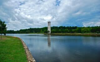
Start near Linky Stone Park off SR 123. Head north along the trail, which mainly follows the Reedy River. A nice add-on is around the campus of bucolic Furman University. Note: the trail is a gradual uphill heading north. Distances and landmarks:
0.5m: Mayberry Park
0.8m: FDR Memorial
2.0m: Rt. 183
4.0m: Sulphur Springs Rd.
5.3m: Watkins Bridge Rd.
6.4m: Furman University (additional trails here)
7.4m: West Duncan Rd./Rt. 25
8.3m: History Museum of Travelers Rest
9.3m: Travelers Rest center/Gateway Park
11.6m: Tate Rd.


Review or Comment on This Route/Share a Photo!
Share your feedback on this route and see that of other Great Runs users. Click on the image icon to upload a photo. And please let us know if there are notes or changes we should incorporate!