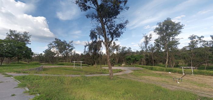
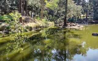
Solidaridad Park (Parque De La Solidarid), located in the Tetlán part of the Guadalajara metro area, is a decent green space for running. The park is popular for its soccer fields, picnic spots, and skateboard park at its southern end. There are numerous trails throughout the park, and the landscape is fairly open. Note that the park’s paths are a bit run down.
One can put together a route of several km in the park. The main orientation is north-south. It’s ~3.5 km from end-to-end, though crossing C. María Reye to connect the southern and northern parts of the park is a bit of an adventure. A loop around the perimeter of the park on paths north of C. María Reyes is nearly ~4.5 km. There’s a running track at the western end off Av. Malecón.

Review or Comment on This Route/Share a Photo!
Share your feedback on this route and see that of other Great Runs users. Click on the image icon to upload a photo. And please let us know if there are notes or changes we should incorporate!