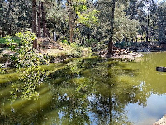
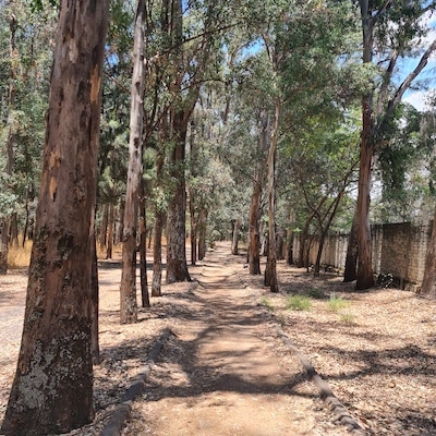
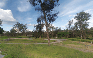
The Bosque Los Colomos is the signature running spot in Guadalajara (bosque=forest). This large urban park is the ‘green lung’ of the city, featuring many km of paths and trails, gardens, ponds, and a bird lake. There’s a running track at its southeastern end. Much of the park is wooded, though there are some more open spots around the gardens. The trails are a mix: wider dirt paths, some narrower, more rugged paths, and some paved sections. Our thanks to Clyo Ramirez for suggesting this route.
Clyo Ramirez
For running, we suggest creating your own route in the numerous parts of the park. The southeastern end of the park is more landscaped, with gardens, and the northwest section is more rugged. There are some marked jogging paths: three 5 km loops and two 3 km loops — and there are map kiosks in the park (though no digital one we could find). A full loop of the park’s perimeter would be ~10k. The running track is at the southeastern end.
Add-Ons: At the northern end of the park, it’s possible to run on Av. Partia along the narrow Río Atemajac (river). It’s a tree-shaded street with a decent sidewalk in the ~3 km between Av. Acueducto & Av. de las Américas
Essentials
Create your own route. There are three 5 km tracks and two 3 km tracks
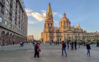
A 'runseeing' tour of some of the main sights in Guadalajara's Centro area. Includes Guadalajara Cathedral, Templo Expiatorio, major plazas & parks. Use our mapped route as guideline to create your own or add on.
Terrific spot for running in Zapopan, in western Guadalajara. The 100+ hectare park features numerous trails, a lake, gardens, and other facilities. More open type terrain. Create your own route, or follow the 4.5 km perimeter path.
A decent spot for running in the Tetlán part of the Guadalajara metro area. Fairly open terrain, combining the paths and some of the athletic fields. Can put together a 4-5 km loop. There's a running track at the western end.
Share your feedback on this route and see that of other Great Runs users. Click on the image icon to upload a photo. And please let us know if there are notes or changes we should incorporate!
Subscribe
0 Comments
Oldest
Newest
Inline Feedbacks
View all comments
Essentials
Create your own route. There are three 5 km tracks and two 3 km tracks

Review or Comment on This Route/Share a Photo!
Share your feedback on this route and see that of other Great Runs users. Click on the image icon to upload a photo. And please let us know if there are notes or changes we should incorporate!