Google Street View
Features:
Categories:

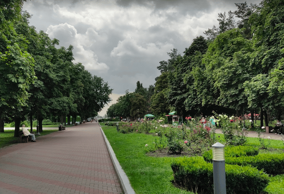
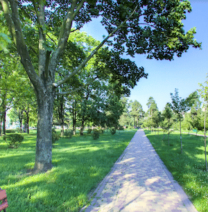
This is a pleasant run combining Peremoha Park and Park Kioto in eastern Kyiv’s Dniprovs’kyi District. Peremoha Park is a large urban park, with nicely tree-lined, criss-crossing pathways and a small lake. It’s ~1.5 km from end-to-end. We recommend combining this with Park Kioto, which is a Japanese themed park that has some nice paths lined by cherry trees. The parks are ~1.5 km apart, using Oleksandra Boichenka St. or Andriya Malyshka St. to connect them. Overall, you can put together an 8-9 km run combining the two parks.
For some variety, there are some paths in the Kyiv National University of Trade and Economics adjacent to Park Kioto.
Essentials
- 4-5 km of paths in Perehoma Park. Or, combine with Park Kioto for an 8-9 km (~5.5 mile) loop
- Flat
- Darnytsia Metro Station near south end of Peremoha Park
- Metro: Darnytsia (Line 1)


Comment on this Route/Share a Photo!
Share your feedback on this route and see that of other Great Runs users. Click on the image icon to upload a photo. And please let us know if there are notes or changes we should incorporate!