Features:
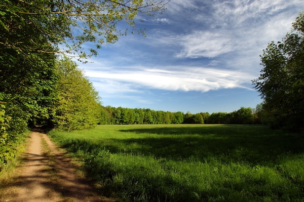
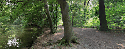
This is a tour of the southern section of Leipzig’s Auwald (Riparian Forest). Whereas the route just north of the center is more wooded terrain, the southern section features more of a floodplain landscape. Use our mapped loop of 13.5 km down to Cospuden Lake as a guide to create your own preferred route. Most of the route is on dirt paths that are wide and have easy footing. They can get muddy in rain. If you want to do a really long one-way run that includes the Auwald and Lake loop, there are good transport options back to Leipzig.

Start just south of Clara-Zetkin Park with an optional climb of Fockeberg Hill. It’s steep (40m over 1 km) and one of the few opportunities for elevation in Leipzig! Then use paths just south of the hill to connect with the NSG Elster-Pleiße-Auwald nature preserve. Head south on the preserve paths for 1.5 km, continuing south on paths connecting to the NSG Lehmlache Lauer preserve (some nice open fields here), all the way to Cospuden Lake. (Option for additional paths around lake). The loop back is on similar paths through the Landschaftspark Cospuden preserve.
Options and Add-Ons: Save 2.5 km by eliminating the Fockeberg Hill section. Add-on with the numerous additional paths in the preserves, or the 10 km loop around Cospuden Lake.
- Up to 13.5 km (8.4 miles) loop. Fockeberg Hill section adds ~2.5 km
- 72m (239 feet); Flat if Fockeberg Hill is not included in route
- Fockestraße, just south of Clara-Zetkin park.


Comment on this Route/Share a Photo!
Share your feedback on this route and see that of other Great Runs users. Click on the image icon to upload a photo. And please let us know if there are notes or changes we should incorporate!