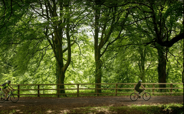
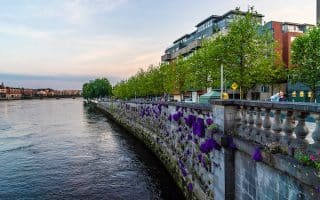
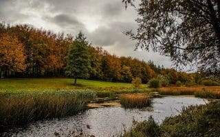
For a destination run and a good option to get rack up some miles in the scenic countryside, we recommend choosing a section of the Limerick Greenway. Built along the former Limerick to Tralee railway line, the multi-use path starts a 1/2 hour drive west of Limerick in Rathkeale, and runs for up to 40 km through Ardagh, Newcastle West, Barnagh, Templeglantine and finishing in Abbeyfeale, with nice views of the Allaghaun River. Mix of paved & unpaved. The 10 km from Newcastle West to Barnagh is an incline.
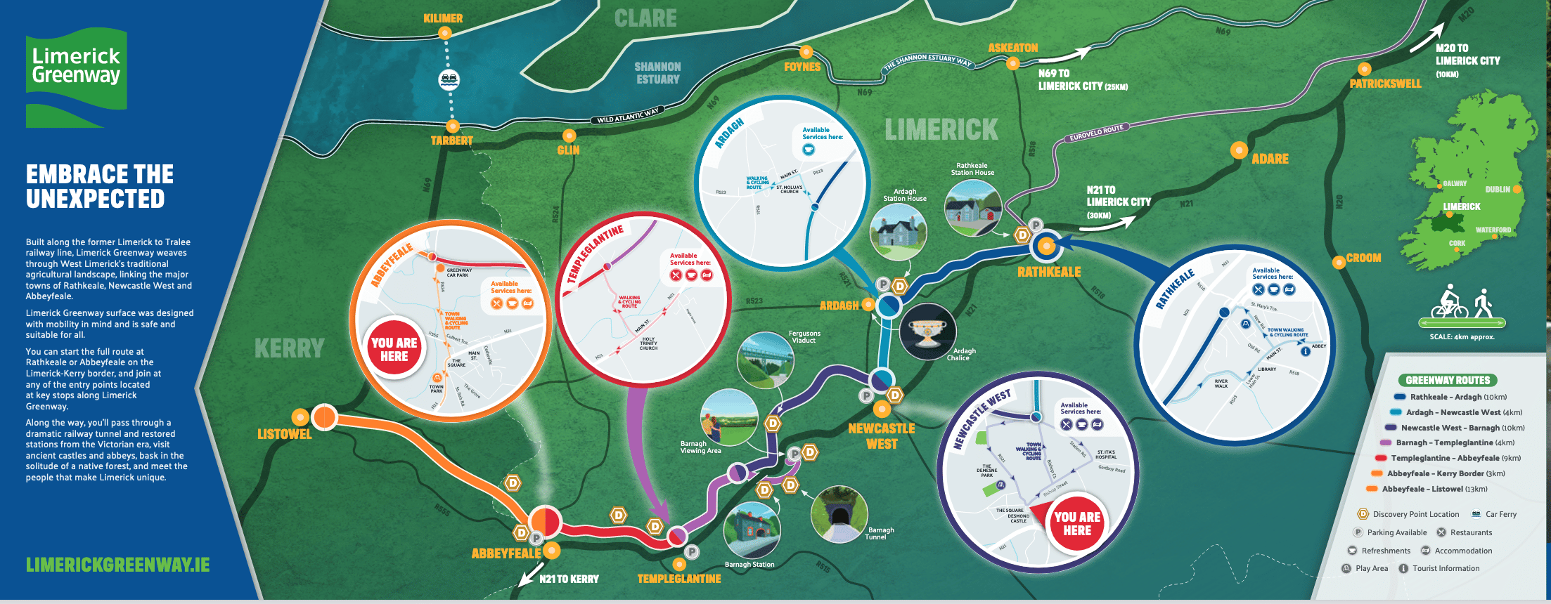
This brochure has excellent information on the Greenway, and a map broken into sections and access points.
For a destination run and a good option to get rack up some miles in the scenic countryside, we recommend choosing a section of the Limerick Greenway. Built along the former Limerick to Tralee railway line, the multi-use path starts a 1/2 hour drive west of Limerick in Rathkeale, and runs for up to 40 km through Ardagh, Newcastle West, Barnagh, Templeglantine and finishing in Abbeyfeale, with nice views of the Allaghaun River. Mix of paved & unpaved. The 10 km from Newcastle West to Barnagh is an incline.
This brochure has excellent information on the Greenway, and a map broken into sections and access points.
Scroll Down For Route Maps
Essentials
Up to 40 km (25 miles) one-way. Choose a section
The 10 km from Newcastle West to Barnagh is an incline
Rathkeale is the closest point to Limerick. Or choose another access point!
Numerous access points. Rathkeale is closest to Limerick
This 'Runseeing' Tour of Limerick hits the historic and commercial highlights of Limerick, including the city centre, King John's Castle, and historic boardwalks along the River Shannon through the Medieval Quarter.
Of the ~13 km of paths along the River Shannon in Limerick, this route is focused on the ~4 km central section between Parteen Railway Bridge and Barrington's Pier. River views, wetlands, & parks!
This route is focused on the ~9 km of paths north and east of Limerick. Includes Shannon Fields, University of Limerick fields, remains of two castles, and a 1.5 km section along the River Mulkear.
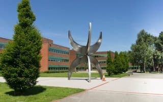
Fine running around the modern, riverside campus of the University of Limerick and the Castleroy neighborhood, located 5 km east of the city centre. Walking paths, athletic fields, and a more pastoral feel on the north side of the river.
Pleasant running in this planned landscape of the former home of the de Vere family featuring 300 hectares of rolling parkland, trails, mixed woodland, lakes, and an arboretum. 1/2 hour west of Limerick.
Share your feedback on this route and see that of other Great Runs users. Click on the image icon to upload a photo. And please let us know if there are notes or changes we should incorporate!
Subscribe
0 Comments
Oldest
Newest
Inline Feedbacks
View all comments
Essentials
Up to 40 km (25 miles) one-way. Choose a section
The 10 km from Newcastle West to Barnagh is an incline
Rathkeale is the closest point to Limerick. Or choose another access point!
Numerous access points. Rathkeale is closest to Limerick

Review or Comment on This Route/Share a Photo!
Share your feedback on this route and see that of other Great Runs users. Click on the image icon to upload a photo. And please let us know if there are notes or changes we should incorporate!