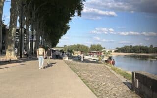
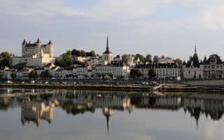
The area around Savennières is a great opportunity to experience some scenic running in hillside vineyards. Located 15 km south of Angers and just north of Ile Béhuard & the Loire River, Savennières is a village reputed for its vineyards and wine estates. There’s also a train station right there.
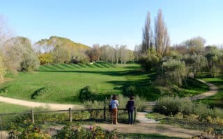
For running, there are numerous scenic hillside roads (avoid the D11). They’re mainly traffic free, but they’re narrow so you’ll have to be aware of cars. There’s also a trail called the Chemin des Perrières, a pedestrian path that goes up into the hillside for 1.7 km, climbing 50m. We’ve put together a 5k loop that combines this path with, then returning west to Savennières using the bike path adjacent to the D11. Runners can also create their own route on the numerous quiet roads in the hillside.
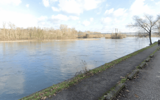
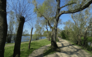
Add-On: Additional quiet roads in the hillside passing numerous vineyards. Or, combine with our Ile Béhuard route. Also, just east of the bike path alongside the D11, the path continues east along the Loire River to Angers — part of the 280 km Loire à Vélo bike path.
The area around Savennières is a great opportunity to experience some scenic running in hillside vineyards. Located 15 km south of Angers and just north of Ile Béhuard & the Loire River, Savennières is a village reputed for its vineyards and wine estates. There’s also a train station right there.
For running, there are numerous scenic hillside roads (avoid the D11). They’re mainly traffic free, but they’re narrow so you’ll have to be aware of cars. There’s also a trail called the Chemin des Perrières, a pedestrian path that goes up into the hillside for 1.7 km, climbing 50m. We’ve put together a 5k loop that combines this path with, then returning west to Savennières using the bike path adjacent to the D11. Runners can also create their own route on the numerous quiet roads in the hillside.
Add-On: Additional quiet roads in the hillside passing numerous vineyards. Or, combine with our Ile Béhuard route. Also, just east of the bike path alongside the D11, the path continues east along the Loire River to Angers — part of the 280 km Loire à Vélo bike path.


Review or Comment on This Route/Share a Photo!
Share your feedback on this route and see that of other Great Runs users. Click on the image icon to upload a photo. And please let us know if there are notes or changes we should incorporate!