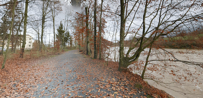
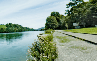
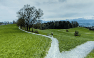
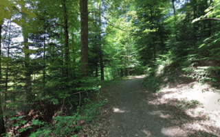
The multi-use path along the Reuss River, which flows into Lake Lucerne, provides a good opportunity for a scenic off-road run. The mainly paved path goes for nearly 15 km north to Gisikon. The first 3 km of the path are pleasant but right next to the Hapstrasse (Highway 2), and then things become more pastoral. Most of the path passes by farms and fields, with a few wooded sections. The are river and some mountain views a good part of the way.
It’s 3 km to Emmenbrücke, 9 km to Buchrain, and 14.4 km to Gisikon. If you’d like to do a long one-way run, there’s train station in Gisikon.


Review or Comment on This Route/Share a Photo!
Share your feedback on this route and see that of other Great Runs users. Click on the image icon to upload a photo. And please let us know if there are notes or changes we should incorporate!