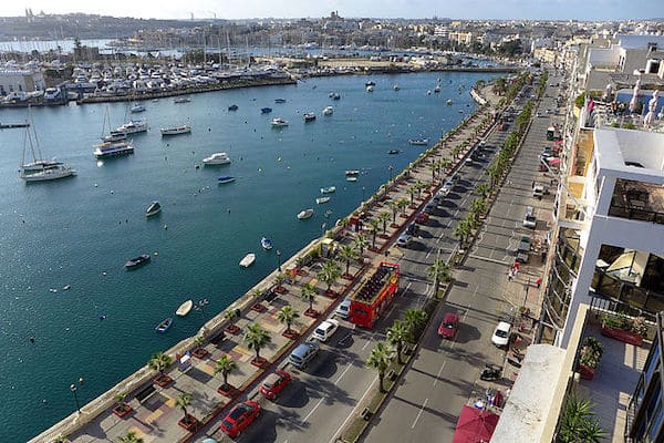
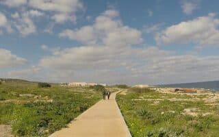
On the east coast of Malta, there’s scenic waterfront running between the capital of Valletta and Paceville. The route is a combination of sidewalk and dedicated seafront promenade, winding its way for nearly 13 km through Sliema, Pieta, Gazira, and St. Julian’s. Use our map as a guideline and generally follow the water around a series of bays and marinas. There are buses along the way — one could easily do this run one-way and bus back.
Starting at the ferry terminal in Valetta, head north. Some landmarks along the way:
2.5 km Gnien Il Park
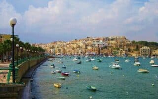
4.7- 5.7 km Sliema Ferry and Pjazza Tigné (cool pedestrian bridge)
7.7 km Exiles Beach, Sliema. Wind around St. Julian’s Bay
9.5 km Love Monument
12.7 km Westin Dragonara/Casino
Add-On: More than 5 km of additional paths along the Valletta waterfront and a route through the Old City on our ‘runseeing’ tour.


Review or Comment on This Route/Share a Photo!
Share your feedback on this route and see that of other Great Runs users. Click on the image icon to upload a photo. And please let us know if there are notes or changes we should incorporate!