Features:
Categories:
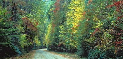
America’s most visited national park. Ridge upon ridge of forest straddles the border between North Carolina and Tennessee in Great Smoky Mountains National Park. The park is world renowned for its diversity of plant and animal life, the beauty of its ancient mountains, and the quality of its remnants of Southern Appalachian mountain culture. The Appalachian Trail passes through the center of the park on its route from Maine to Georgia. The main park entrances are located along U.S. Highway 441 (Newfound Gap Road) at the towns of Gatlinburg, Tennessee, and Cherokee, North Carolina. For running, due to steep terrain, narrow road surfaces, and heavy automobile traffic, many park roads are not well suited for pedestrians. But there are some exceptions, notably the Cades Cove Loop Road and a quiet gravel road in the Greenbrier Cove area.
For more running options, see our guide to the Blue Ridge Parkway, whose southern terminus is 2.5 miles away from the southeastern end of Great Smoky NP. Also, see our running guide to the Pigeon Forge/Gatlinburg area for some additional routes.
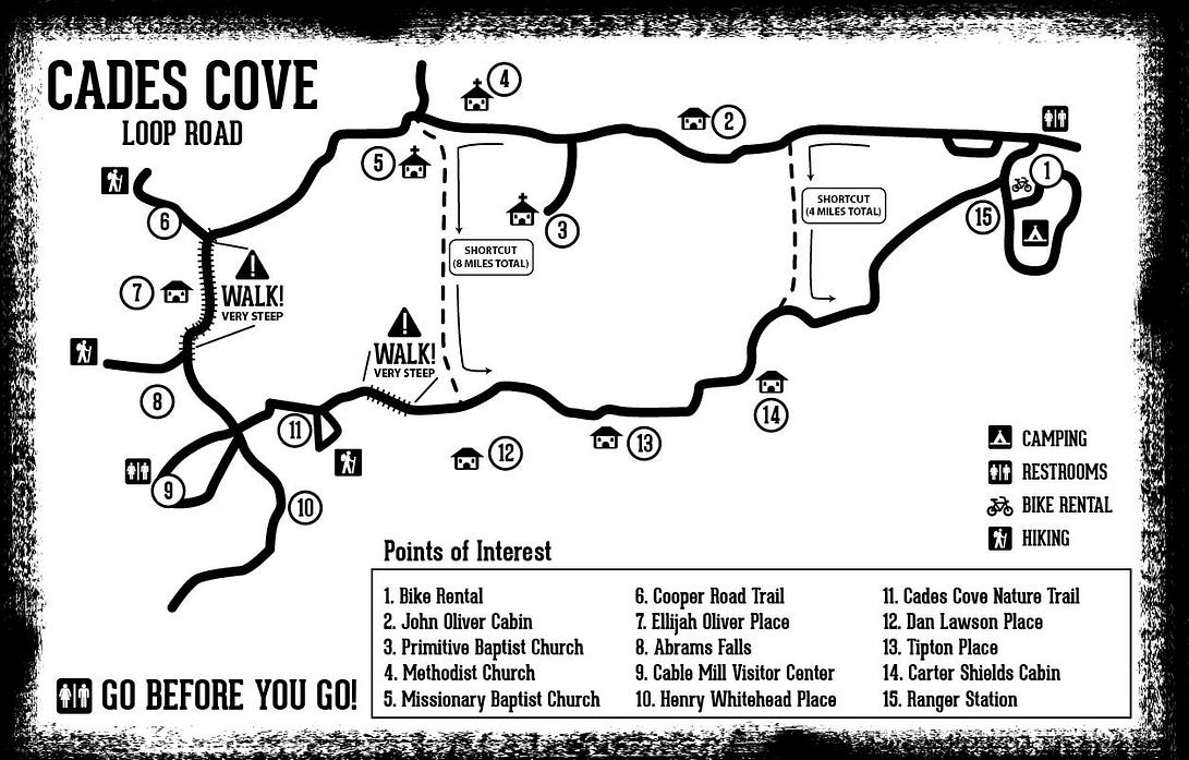
The Cades Cove Loop Road

If you start at Cades Cove Campground on the East side of the loop, you can make the route shorter with two possible shortcuts. For a 4 mile run, use Sparks Lane right before the John Oliver Cabin. Alternatively, use Hyatt Lane (located right after the Methodist Church) to create an 8 mile loop. The Cades Cove Loop is a must if you want to truly enjoy the beauty, wildlife and serenity of the Great Smoky Mountain National Park.
Greenbrier Cove

There are some decent routes in this area, location of Dollywood and gateway to the National Park. There are paved greenway paths in Pigeon Forge and Sevierville. In Gatlinburg, there’s an easy, wooded trail off River Rd. that makes for a nice intro to the Park.
The southern end of the Blue Ridge Parkway (milepost 469) is 2.5 miles away from the Oconaluftee Visitor Center at the southeastern end of Great Smoky National Park. See our running guide for the Blue Ridge Parkway.


Comment on this Route/Share a Photo!
Share your feedback on this route and see that of other Great Runs users. Click on the image icon to upload a photo. And please let us know if there are notes or changes we should incorporate!