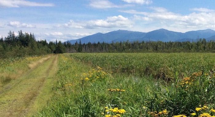
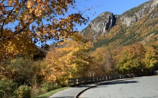
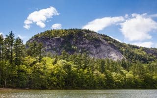
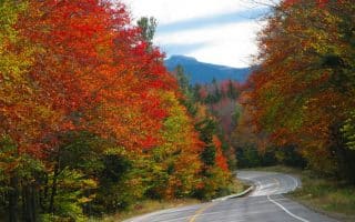
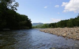
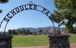
The Presidential Rail Trail is unpaved, but its flat gravel trails are a quiet respite from the busy hubbub of tourist season in the Whites. Stretching over 18 miles between Gorham and Whitefield, the trail has many options for out-and-backs, complete with ample parking. We’ve mapped a 5.6 mile out and back route of our favorite section, between the Appalachia Trailhead on Route 2 and the old bottling plant just past Dolly Copp Road. This part of the trail will take you over an abandoned mineral springs factory, vast beaver ponds (with a good chance of wildlife viewing), unbeatable views of Mts. Jefferson and Adams, and a 1918 Historic Pony Truss Bridge over Snyder Brook. Park on the west side of this 5.62 mile out and back, but note the Appalachia Trailhead area is often heavily used among hikers.
Full Trail Map w/Distances
Review or Comment on This Route/Share a Photo!
Share your feedback on this route and see that of other Great Runs users. Click on the image icon to upload a photo. And please let us know if there are notes or changes we should incorporate!