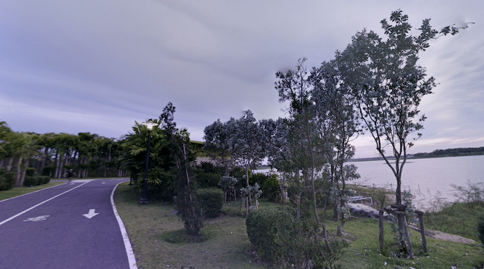
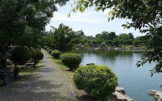
The loop around Map Prachan Reservoir is a great destination run for those in Pattaya City/Beach. It’s also one of the best opportunities for a longer off-road run in the area. The reservoir is located 12 km inland from Pattaya, in the Bang Lamung District. There is a paved multi-use path around the reservoir, separated from the main road. The full loop is 10.8 km. There are nice views of the lake most of the way, and great sunsets!
A good place to start is Tambon Pong Health Park, a pleasant green spot where there’s also parking, restrooms, some additional trails, and free aerobics sessions (Mon, Tue & Wed 18:00-19:00).
Our thanks to Beat Rohrer for this route suggestion!

Review or Comment on This Route/Share a Photo!
Share your feedback on this route and see that of other Great Runs users. Click on the image icon to upload a photo. And please let us know if there are notes or changes we should incorporate!