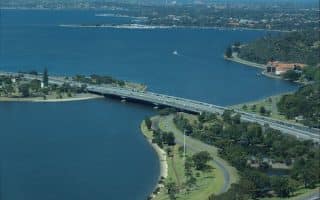
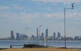
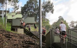
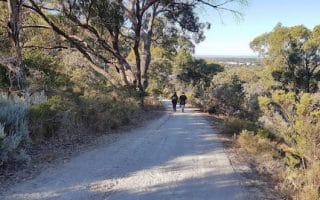
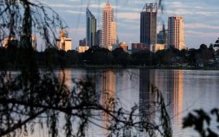
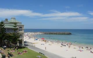
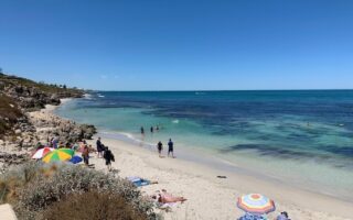
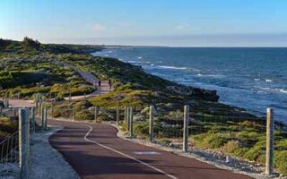
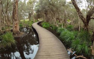
Not the “casual after-work run before retiring to the pub” route, this route in the Helena Valley will reward those who make the trek. It’s also a good opportunity to experience running in Australia’s dry bushland. Helena Valley is located 20 km east of Perth, and is the gateway to a much hillier area known as the Darling Scarp (and two national parks in the area). A well-known, but challenging route known as the Mount Helena Run is an undulating 23 km (14 miles) trail run, reaching the highest peak at just over 300 meters elevation (marked by two white posts at roughly the halfway point). The steepest section starts at the 8 km mark, rising 300m over 3 km. A shorter and easier option is to run the first 8 km, for a 16 km out and back.
In addition to a small stream at the end, a tap can be found at the highest point, a well-deserved reward for finishing the climb. Runners will enjoy a slight decline all the way home along a fire trail. This loop has been used as a training route by some of Australia’s champion runners.
Group Option: It is recommended you tag along with a local for the first lap prior to experiencing this route on your own. A group leaves from the car park at the end of Helena Valley Road on Sundays at 6:30am in summer and 7am in winter.
Check out The Long Run, an Australian blog focused on trail running and ultras, for a detailed guide to this route: http://www.thelongrun.com.au/mt-helena-long-run-perth-wa/


Review or Comment on This Route/Share a Photo!
Share your feedback on this route and see that of other Great Runs users. Click on the image icon to upload a photo. And please let us know if there are notes or changes we should incorporate!