
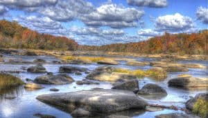
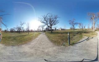
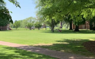
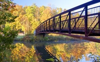
The James River Park System is comprised of more than 550 acres along the Richmond waterfront, making for miles of scenic running on mainly gravel paths, with options for water views, shade, and woods. There are numerous ways to skin this cat, and multiple pedestrian bridges offering fun loop options — best to print out the trail map as a guideline.
The local go-to route is a 5+ mile loop incorporating Belle Isle, which floats offshore just under the Robert E. Lee Bridge. From the north shore, use the pedestrian footbridge at Tredegar St. at the Civil War Museum to reach the Belle Isle Trailhead. Then, head south to connect to the Buttermilk Trail. Follow the Buttermilk Trail west for 2.5 miles along the riverbank, then turn RIGHT onto Boulevard Bridge. Connect with the mainly wooded, gravel surfaced North Bank Trail, which carries east along the north riverbank for 2.75 miles back to the Lee Bridge.
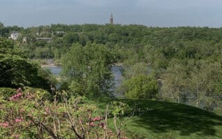
 Another good option, which may be somewhat more secluded, is to begin at the Pony Pasture Trails and continue west on Riverside Drive to Hugenot Flatwater. Riverside Drive is narrow, and there is not much of a shoulder, but traffic is minimal, with the thin dirt trail following the road at times.
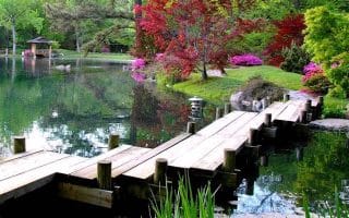
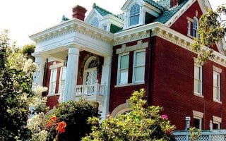
 Another local favorite is Forest Hill Park (popular with mountain bikers!), which branches off the Buttermilk Trail/Riverside Drive on the south side of the river. Here, runners can put in a 3.25 mile loop on paved and dirt paths leading around a pond and the adorable stone house “Boscobel.” Run this separately or as a spur option on the main river run.
These trails can also be combined with the numerous pedestrian bridges in the Civil War Museum area and with the Canal Walk and Brown’s Island.


Review or Comment on This Route/Share a Photo!
Share your feedback on this route and see that of other Great Runs users. Click on the image icon to upload a photo. And please let us know if there are notes or changes we should incorporate!