There are three excellent riverside paths that are easily accessed from downtown Rochester, using Mayo Park and the pedestrian bridge as an anchor: south along the Bear Creek River; north along Silver Lake; and southwest along the South Fork River to Mayo Lake. This route details the South Fork River trail.
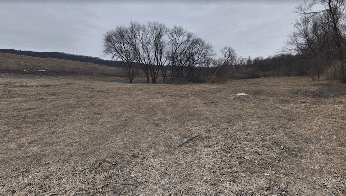
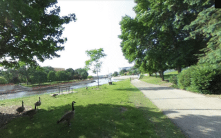
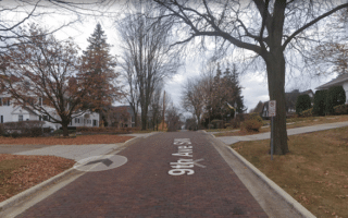
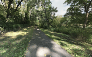
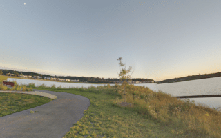
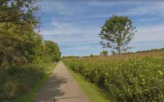
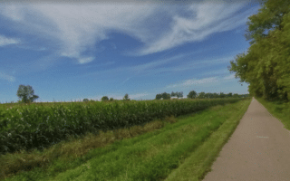
Starting at Mayo Park, this paved trail follows the South Fork Zumbro River for 1 mile. Then there’s an 0.5 mile section along the eastern edge of Soldiers Field, before the path rejoins the river, heading through Zumbro Park and then passing Lake George, Bamber Lake, and Mayo Lake, ending at Mayo Lake Dam. The total distance is 5.5 miles one-way. The terrain is both wooded and open, with some nice water views. The 2.5 miles west of Highway 63 are especially pretty.
Pro Tip: Good access to this trail (and parking) from TerraLoco, Rochester’s go-to running store!
Add-Ons: Can be combined with the other river trails accessible from downtown.
There are three excellent riverside paths that are easily accessed from downtown Rochester, using Mayo Park and the pedestrian bridge as an anchor: south along the Bear Creek River; north along Silver Lake; and southwest along the South Fork River to Mayo Lake. This route details the South Fork River trail.
Starting at Mayo Park, this paved trail follows the South Fork Zumbro River for 1 mile. Then there’s an 0.5 mile section along the eastern edge of Soldiers Field, before the path rejoins the river, heading through Zumbro Park and then passing Lake George, Bamber Lake, and Mayo Lake, ending at Mayo Lake Dam. The total distance is 5.5 miles one-way. The terrain is both wooded and open, with some nice water views. The 2.5 miles west of Highway 63 are especially pretty.
Pro Tip: Good access to this trail (and parking) from TerraLoco, Rochester’s go-to running store!
Add-Ons: Can be combined with the other river trails accessible from downtown.

Review or Comment on This Route/Share a Photo!
Share your feedback on this route and see that of other Great Runs users. Click on the image icon to upload a photo. And please let us know if there are notes or changes we should incorporate!