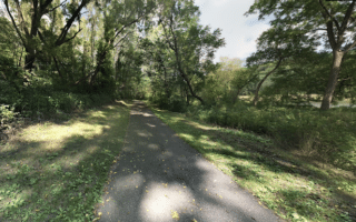
There are three excellent riverside paths that are easily accessed from downtown Rochester, using Mayo Park and the pedestrian bridge as an anchor: south along the Bear Creek River; north along Silver Lake; and southwest along the South Fork River to Mayo Lake. This route details the Silver Lake trail.
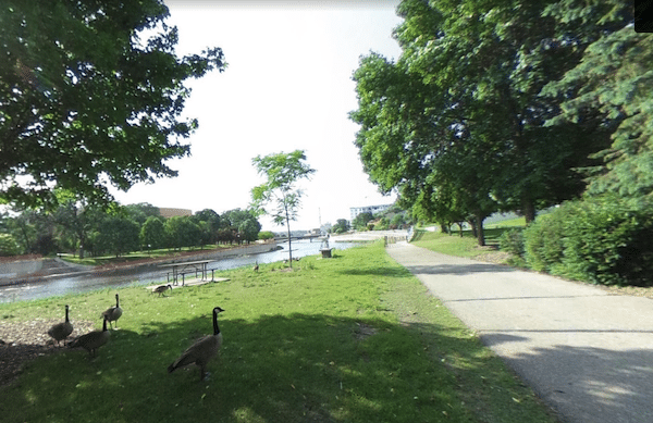
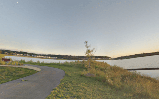
This paved trail runs along Silver Lake for 2.3 miles north to the Rochester-Olmsted County Recreation Area. It’s a pleasant, scenic path, with nice views of the water and an especially pretty section in the area of Silver Lake Park, which is a popular spot for cycling and boat rentals. There’s also a public outdoor pool.
- Side Route: At N. Broadway Ave. (1.5 mile mark of our route), a side trail runs southwest along Cascade Creek for 1.6 miles to Kutzky Park.

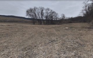
Kutsky Park. Google Street View
Add-Ons: Can be combined with the other river trails accessible from downtown.

Review or Comment on This Route/Share a Photo!
Share your feedback on this route and see that of other Great Runs users. Click on the image icon to upload a photo. And please let us know if there are notes or changes we should incorporate!