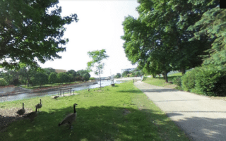
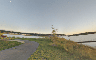
There are three excellent riverside paths that are easily accessed from downtown Rochester, using Mayo Park and the pedestrian bridge as an anchor: south along the Bear Creek River; north along Silver Lake; and southwest along the South Fork River to Mayo Lake. This route details the Bear Creek River trail.
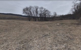
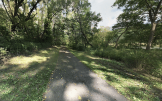
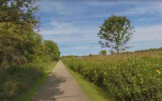
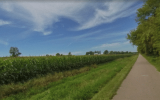
This paved trail runs south along the Bear Creek River for 3.4 miles to the Jean and Carl Frank Canine Park. It’s a combination of open and wooded terrain, with some nice views of the water. At the 1.4 mile mark at Bear Creek Park, a short path leads to Mayo High School, where there’s a good running track. The path skirts the east end of the dog park and ends at 23rd St. SE.
Add-Ons: Can be combined with the other river trails accessible from downtown.
There are three excellent riverside paths that are easily accessed from downtown Rochester, using Mayo Park and the pedestrian bridge as an anchor: south along the Bear Creek River; north along Silver Lake; and southwest along the South Fork River to Mayo Lake. This route details the Bear Creek River trail.
This paved trail runs south along the Bear Creek River for 3.4 miles to the Jean and Carl Frank Canine Park. It’s a combination of open and wooded terrain, with some nice views of the water. At the 1.4 mile mark at Bear Creek Park, a short path leads to Mayo High School, where there’s a good running track. The path skirts the east end of the dog park and ends at 23rd St. SE.
Add-Ons: Can be combined with the other river trails accessible from downtown.

Review or Comment on This Route/Share a Photo!
Share your feedback on this route and see that of other Great Runs users. Click on the image icon to upload a photo. And please let us know if there are notes or changes we should incorporate!