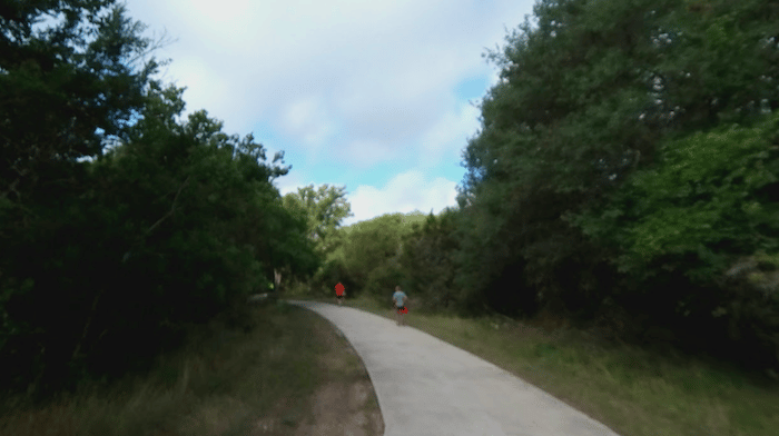
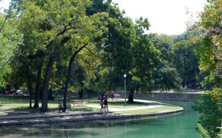
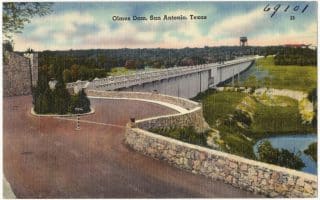
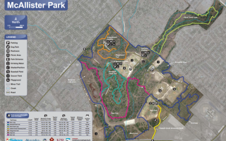
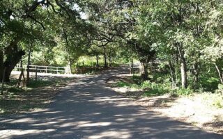
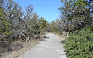
In northwestern San Antonio, one of our favorite running routes is a series of parks connected by the Leon Creek Greenway. The Greenway itself is actually as system of paved multi-use paths, adding up to ~20 miles — but it’s not 100% continuous. We’ve mapped an attractive, ~6 mile section from Bandera Rd. north to Highway 53, just east of the The University of Texas at San Antonio. Most of this route is through a series of parks, starting with O. P. Schnabel Park (200 acres, additional trails), Bamberger Nature Park (more trails), and Fox Park. Choose a section and vary with some of the side trails in these parks.
Add-Ons: Just west of Highway 53, the University of Texas at San Antonio is a nice campus with numerous pedestrian paths. Also, the Greenway continues south for many, many miles.


Review or Comment on This Route/Share a Photo!
Share your feedback on this route and see that of other Great Runs users. Click on the image icon to upload a photo. And please let us know if there are notes or changes we should incorporate!