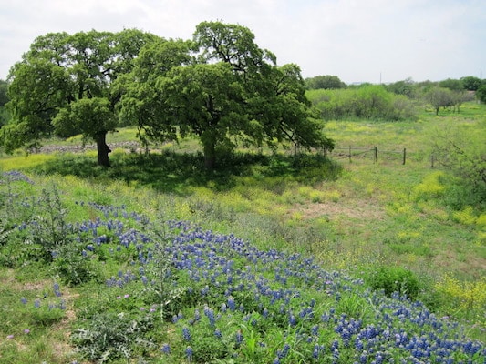
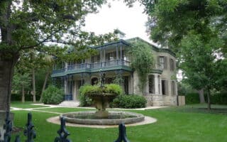
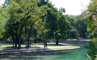
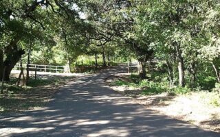
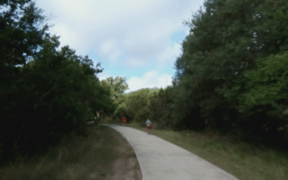
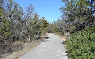
Just north of San Antonio International Airport, McAllister Park is a very popular place for runners. There are five miles of asphalt trails, and more than 10 miles of unpaved natural bicycle and cross-country trails. There are water fountains and restrooms throughout. This natural area is quite pretty, with lots of green.
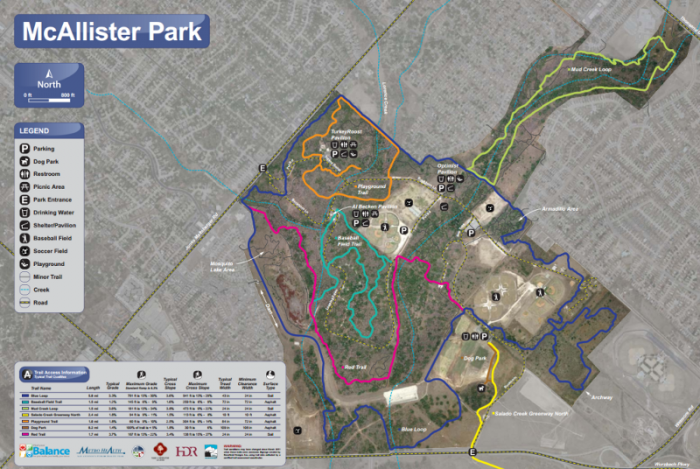
Blue Loop: both natural and asphalt trails: 6.5 miles; Red Trail: 2 miles, natural trails; Red Trail/Blue Loop: half mile; both natural and asphalt trails.
Note: Be aware of mountain bikers.
Add-Ons: The Salado Creek Greenway, a paved multi-use path, both south and north of McAllister Park.
STAY: Off Hwy 281, north of Wurzbach Pkwy.
Just north of San Antonio International Airport, McAllister Park is a very popular place for runners. There are five miles of asphalt trails, and more than 10 miles of unpaved natural bicycle and cross-country trails. There are water fountains and restrooms throughout. This natural area is quite pretty, with lots of green.
Blue Loop: both natural and asphalt trails: 6.5 miles; Red Trail: 2 miles, natural trails; Red Trail/Blue Loop: half mile; both natural and asphalt trails.
Note: Be aware of mountain bikers.
Add-Ons: The Salado Creek Greenway, a paved multi-use path, both south and north of McAllister Park.
STAY: Off Hwy 281, north of Wurzbach Pkwy.


Review or Comment on This Route/Share a Photo!
Share your feedback on this route and see that of other Great Runs users. Click on the image icon to upload a photo. And please let us know if there are notes or changes we should incorporate!