The Shin River’s mouth is near Otaru, but it branches into two separate branches (the Kotonihassamu River and the Kotoni River) near Hassamuseiryo Park. It also branches into the Kei and Nakano Rivers closer to Teine. All of these rivers are lined with pathways, although none are as scenic or good for running as the Toyohira River Path. Still, they are good options for runners seeking a longer distance pavement run through the city. The paths make a nice add-on to the Hokkaido University or Toyohira River routes, especially for those in the southwest areas of Sapporo.
Shin River Path MAP. It’s 7.7 km (4.8 miles) one-way between Hassamuseiryo Park (Nishi Ward) and Maeda Forest Park (Teine Ward).
Kotonihassamu River Path MAP. It’s 10.8 km (6.8 miles) from Hassamuseiryo Park to Heiwa Hospital, Nishi Ward. Note: steady elevation gain if southwest direction used.
Kotoni River Path MAP. It’s 4.2 km (2.6 miles) between Hassamuseiryo Park and the Sapporo Racecourse. Flat!
Kei and Nakano Rivers Path MAP. Starting near Maedaryokuenaozora Park in the Teine Ward, there are paths along the Nakano River for a ~5 km loop, with an option for a ~4 km spur out the Kei River. Flat.


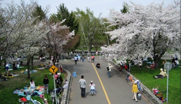
Review or Comment on This Route/Share a Photo!
Share your feedback on this route and see that of other Great Runs users. Click on the image icon to upload a photo. And please let us know if there are notes or changes we should incorporate!