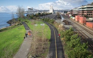
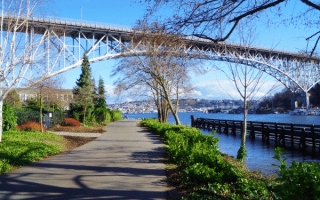
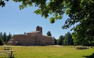
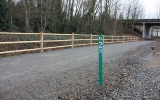
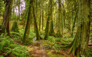
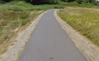
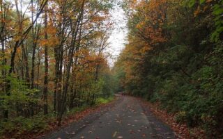
The Palouse to Cascades State Park Trail is a long multi-use trail that stretches for 212 miles from Cedar Falls, just outside of Seattle’s eastern suburbs, to the Idaho Border. The gravel-surfaced path has numerous scenic sections, as it passes through Olallie State Park, mountain passes, and then the farmlands of eastern Washington. There are cool trestles, tunnels, great views, and a level grade surface on the former Chicago, Milwaukee, St. Paul, and Pacific Railroad that’s now a ‘rails to trails’. One bonus is that the trail runs roughly parallel to I-90, so it can be accessed at numerous points.
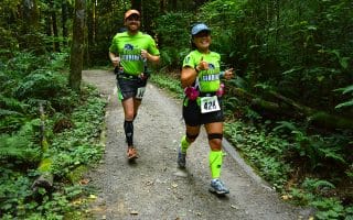
It’s a popular hiking and cycling trail, but also very runnable. Runners can pick it up a the Rattlesnake Lake Recreation area. A unique experience: the 2.3-mile tunnel under Snoqualmie Pass — the nation’s longest tunnel open to nonmotorized traffic. Access from Exit 38 off I-90, 16-mile mark of the trail.


Review or Comment on This Route/Share a Photo!
Share your feedback on this route and see that of other Great Runs users. Click on the image icon to upload a photo. And please let us know if there are notes or changes we should incorporate!