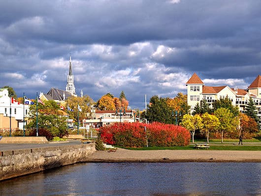
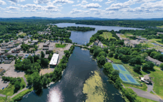
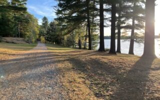
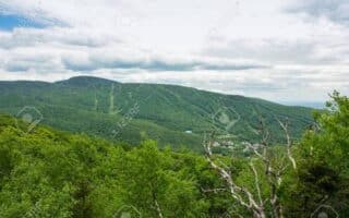
Magog is a small city in the Eastern Townships that sits at the northern end of Lake Memphremagog, and just south of Mont-Orford National Park. We’ve mapped a pleasant, mainly waterfront route that combines the La Montagnarde path east of town with a section of La Route Verte (Quebec’s long-distance cycle path).
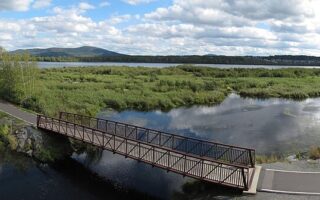
The eastern end is at Rue du Belvédère, just east of Magog. Run west, over the river, through Magog, then continue northwest on the Route Verte to Ch. Roy. Overall, it’s 5.1 km one-way.
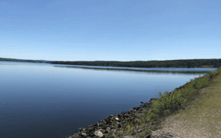
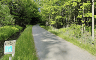
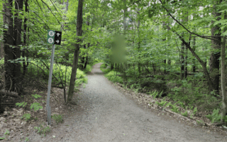
Add-Ons: Can continue north and then west on La Route Verte — a wide, gravel bike path. It heads into Mont-Orford National Park, where there are numerous terrific running options.
Magog is a small city in the Eastern Townships that sits at the northern end of Lake Memphremagog, and just south of Mont-Orford National Park. We’ve mapped a pleasant, mainly waterfront route that combines the La Montagnarde path east of town with a section of La Route Verte (Quebec’s long-distance cycle path).
The eastern end is at Rue du Belvédère, just east of Magog. Run west, over the river, through Magog, then continue northwest on the Route Verte to Ch. Roy. Overall, it’s 5.1 km one-way.
Add-Ons: Can continue north and then west on La Route Verte — a wide, gravel bike path. It heads into Mont-Orford National Park, where there are numerous terrific running options.
Review or Comment on This Route/Share a Photo!
Share your feedback on this route and see that of other Great Runs users. Click on the image icon to upload a photo. And please let us know if there are notes or changes we should incorporate!