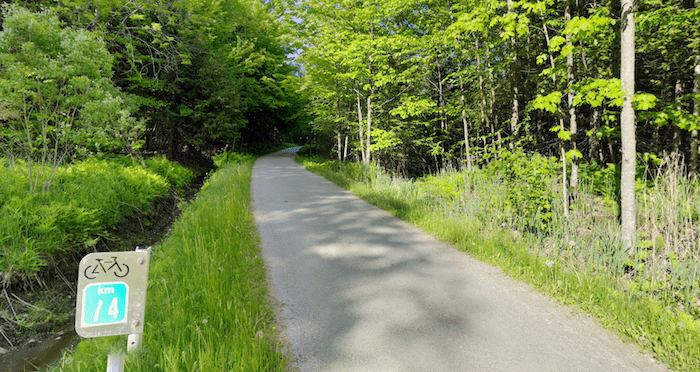
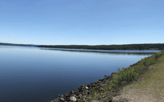
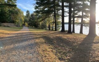
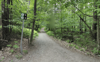
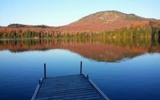
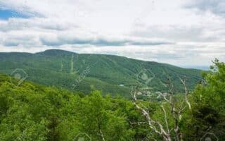
The 13 km section of the Route Verte (Quebec’s long-distance cycle path) that runs between North Hatley and Lennoxville is a terrific option option for those who’d like a long, relatively flat off-road run on a good surface. The wide, gravel path runs mainly is mainly wooded in this area, with some sections passing fields and farms. North Hatley is a small town at the northern end of Lake Massawippi. Pick up the path off Chem. Vaughan just north of town, and head north for up to 13 km, passing through Eustis & Earlstown. The north end is at Rue Massawipppi, just south Lennoxville. The Capelton Mine, a popular tourist attraction is at the 7 km mark. There are km markers alonf the way
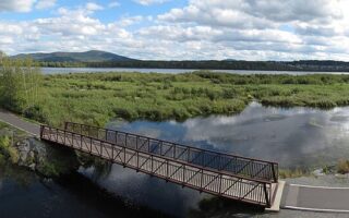
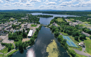
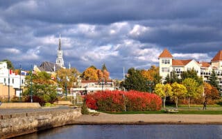
Add-Ons: The Route Verte continues on Rue Massawipppi, then passes through Bishop’s University just south of Sherbrooke, where you can connect to the Saint-François River bike path (also a section of the Route Verte) and more running options in Sherbrooke.
The 13 km section of the Route Verte (Quebec’s long-distance cycle path) that runs between North Hatley and Lennoxville is a terrific option option for those who’d like a long, relatively flat off-road run on a good surface. The wide, gravel path runs mainly is mainly wooded in this area, with some sections passing fields and farms. North Hatley is a small town at the northern end of Lake Massawippi. Pick up the path off Chem. Vaughan just north of town, and head north for up to 13 km, passing through Eustis & Earlstown. The north end is at Rue Massawipppi, just south Lennoxville. The Capelton Mine, a popular tourist attraction is at the 7 km mark. There are km markers alonf the way
Add-Ons: The Route Verte continues on Rue Massawipppi, then passes through Bishop’s University just south of Sherbrooke, where you can connect to the Saint-François River bike path (also a section of the Route Verte) and more running options in Sherbrooke.
Review or Comment on This Route/Share a Photo!
Share your feedback on this route and see that of other Great Runs users. Click on the image icon to upload a photo. And please let us know if there are notes or changes we should incorporate!