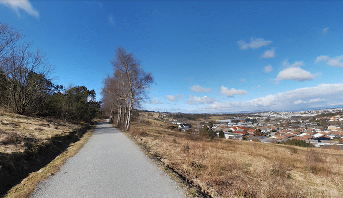
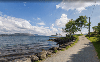
Sørmarka, located 5 km south of the city centre, is the largest contiguous green area in Stavanger. It’s a popular hiking spot and terrific for easy to moderate trail running. The 370-acre area features 8 km of trails, through mostly wooded terrain. Some of the woods are fairly dense. The area is fairly hilly, but nothing too steep. The paths at the southeastern end are more open and feature some nice views.
Create your own route here. It’s ~3 km north-south and ~1 km east-west. Make sure your run incorporates the 0.5 km road to the Ullandhaugstårnet Tower from the parking lot. Great views from the tower!
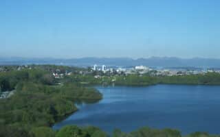
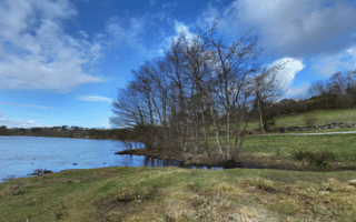
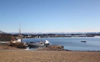
Add-Ons: Campus of Stavanger University is just west of Sørmarka. Also, just north of Sørmarka is a linear park path that is part of our route including Stokkavannet lake.
Sørmarka, located 5 km south of the city centre, is the largest contiguous green area in Stavanger. It’s a popular hiking spot and terrific for easy to moderate trail running. The 370-acre area features 8 km of trails, through mostly wooded terrain. Some of the woods are fairly dense. The area is fairly hilly, but nothing too steep. The paths at the southeastern end are more open and feature some nice views.
Create your own route here. It’s ~3 km north-south and ~1 km east-west. Make sure your run incorporates the 0.5 km road to the Ullandhaugstårnet Tower from the parking lot. Great views from the tower!
Add-Ons: Campus of Stavanger University is just west of Sørmarka. Also, just north of Sørmarka is a linear park path that is part of our route including Stokkavannet lake.


Review or Comment on This Route/Share a Photo!
Share your feedback on this route and see that of other Great Runs users. Click on the image icon to upload a photo. And please let us know if there are notes or changes we should incorporate!