Features:
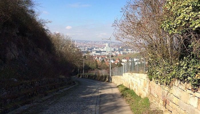
The Rösslesweg is a roughly 50 km, hilly hiking/running loop surrounding the city of Stuttgart. While most runners (with the exception of ultra-marathoners) probably won’t want to take on the whole of the trail in one run, the track is a good reference for finding routes all around the city. With such close proximity to downtown, it’s easy to run a leg of any distance, then hop on a bus or 
This site has good information on the Rundwanderweg, with recommendations on segments and an altitude profile.
- Sections up to 50 km (31 miles)
- 973 meters (3191 feet)
- Varies
- Varies


Comment on this Route/Share a Photo!
Share your feedback on this route and see that of other Great Runs users. Click on the image icon to upload a photo. And please let us know if there are notes or changes we should incorporate!