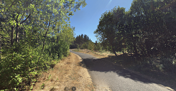
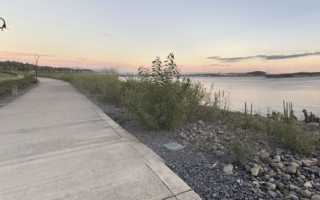
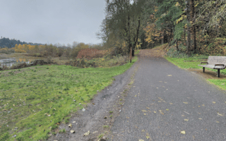
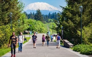
The Burnt Bridge Creek Greenway is a great spot for a longer off-road run near Vancouver. The paved multi-use path runs from Meadowbrook Marsh Park for nearly 8 miles west to Vancouver Lake in Stewart Glen. It’s a mix of grassland, parks, and wooded sections. The closest access point to central Vancouver is Arnold Park, 3 miles north of the city. From there, it’s 3 miles west to the lake or 5 miles to the eastern terminus.
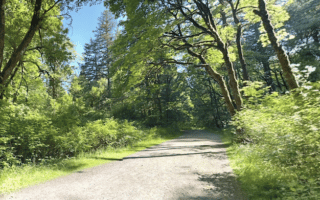
The trail follows the rough outline of Burnt Bridge Creek, passing through several parks, where there are some additional trails. There are a couple of short on-road sections. From west to east, it’s a gradual uphill.
The Burnt Bridge Creek Greenway is a great spot for a longer off-road run near Vancouver. The paved multi-use path runs from Meadowbrook Marsh Park for nearly 8 miles west to Vancouver Lake in Stewart Glen. It’s a mix of grassland, parks, and wooded sections. The closest access point to central Vancouver is Arnold Park, 3 miles north of the city. From there, it’s 3 miles west to the lake or 5 miles to the eastern terminus.
The trail follows the rough outline of Burnt Bridge Creek, passing through several parks, where there are some additional trails. There are a couple of short on-road sections. From west to east, it’s a gradual uphill.

Review or Comment on This Route/Share a Photo!
Share your feedback on this route and see that of other Great Runs users. Click on the image icon to upload a photo. And please let us know if there are notes or changes we should incorporate!