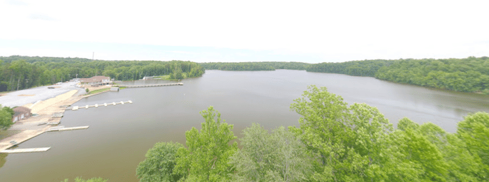
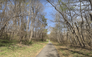
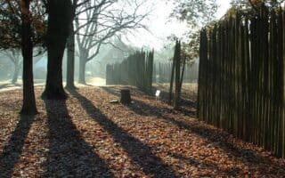
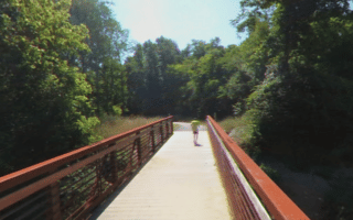
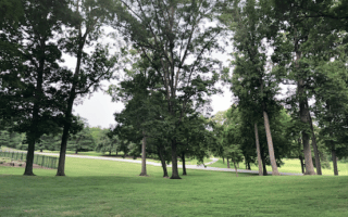
The Salem Lake Trail is one of the most popular spots for a run in the Winston-Salem area. The mostly dirt path in Salem Lake Park loops around the lake, for a total distance of 7 miles. There are water views in sections, and also some wooded areas with nice shading. A bonus for runners: there are mile markers, going counterclockwise starting at the Point parking lot near the playground.
The path is also called the Salem Creek Greenway, which is also a paved multi-use trail that extends from Salem Lake for 4.5 miles to Washington Park.
Add-Ons: Connect to the Salem Creek Greenway, which heads west to downtown.

Review or Comment on This Route/Share a Photo!
Share your feedback on this route and see that of other Great Runs users. Click on the image icon to upload a photo. And please let us know if there are notes or changes we should incorporate!