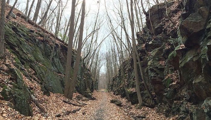
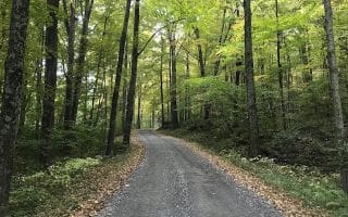
Though it sits a little further south than most of our Litchfield Hills routes, the Larkin State Park Trail is not to be missed when it comes to running in Connecticut. The path spans just over 10 miles on a former railroad bed through Middlebury, Naugatuck, Oxford, and Southbury. The terrain is mostly a wide dirt track with lots of scenic bogs, lakes, and forests along the way. There are parking and access points at Curt Smith Road in Southbury, Pope Road in Oxford, Hawley Road in Oxford, Christian Road in Middlebury, and South Street in Middlebury. The trail maps below have good detail with segment distances.
Features:
Categories:
Scroll Down For Route Maps
Essentials
- 10 miles one-way; up to 20 miles out and back
- 585 feet
- Southbury or Middlebury
- See map for parking
Current Weather & Forecast
Location Weather
Please set your valid city name and country code.
Other Routes in Litchfield Hills, Connecticut
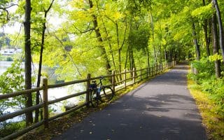
These long twin bike paths run from the Massachusetts border to Long Island Sound. Access paved routes from Simsbury, Avon, Collinsville, Unionville, Plainville, and Southington. The River Trail branches off the Heritage Trail for 16 miles.

Run the Litchfield Hills charming namesake town through the town green, main strip, residential streets, and the locally famous, leg crushing, Gallows Lane hill. We've mapped 3.6 and 6.8 mile options.
This enormous parcel of conservation land right in Litchfield is the go-to training zone for cross country running, with 39 miles of paths. Nice variety of terrain from forested to open to lakes. Trail running options range all abilities.

Run across the scenic dam and around the reservoir that provides water to Hartford on paved sidewalks and dirt access roads. We've mapped a 3.8 mile out and back run, but there are other trails and roads good for running in the area.
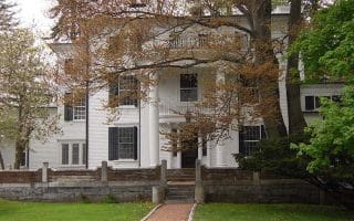
A quiet, small village with elegant homes and lovely town green is featured in this 2 mile tour of Connecticut’s back roads. Options for a longer run on pleasant, quiet side roads

Salmon Kill Road in Salisbury is arguably one of the most scenic roads in Connecticut’s northwest corner. Farmland and creekside sections, with some trail as well. We've mapped out and back or loop options.
A part of the Appalachian Trail that's good for running! We love this ~4 mile stretch of the AT along the Housatonic River between Kent and Cornwall Bridge as a flat and inviting trail run. Optional gravel road alternative/extension.

8 mile loop around the Kent hillside featuring a private school campus, winding stone walls, saltbox homes, and rolling farmland and mountain views. Hilly.
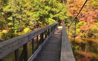
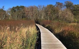
Lining the banks of the Shepaug River, Washington’s Steep Rock Preserve is trail running heaven. There's something for everyone here. We recommend the Steep Rock Loop trail out to the scenic suspension bridge and railroad tunnel.
User Ratings
Leave A Review or Comment
Review or Comment on This Route/Share a Photo!
Share your feedback on this route and see that of other Great Runs users. Click on the image icon to upload a photo. And please let us know if there are notes or changes we should incorporate!