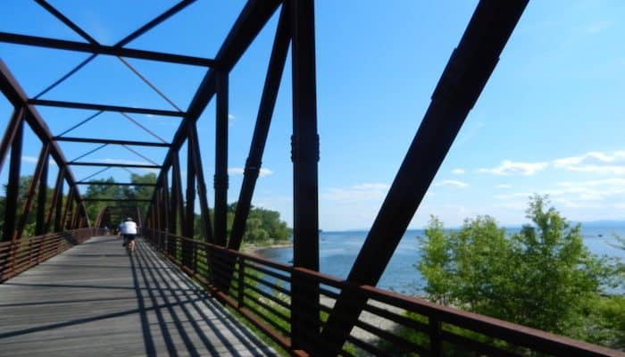
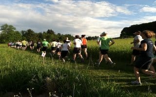
The South Burlington Rec Path is a network of paved paths through the southern part of the city, totaling 24 miles. The paths are a patchwork, with some road sections as connectors, and the whole thing is a bit of a work in progress. The paths incorporate a variety of landscapes, including woods, suburban residential, and some open countryside. A highlight is Overlook Park on Spear Street, which offers stunning views of Lake Champlain twice during this out and back (perfect excuse to take a quick break to take in the views). This section is hilly. TRAIL MAP
Our route covers 7 miles round trip of this path, starting at South Burlington High School, which has a large parking lot open to the public during non-school hours. From there you’ll go down Dorset Street, with a serious climb in the beginning, making your first mile tough but rewarding. At the end of the bike path on Dorset Street, you cross over into Nowland Farms neighborhood which leads to Overlook Park. You’ll join back onto the bike path from there which leads to Szymanski Park, your turn around point. This loop highlights the prettiest views in South Burlington.
Add-Ons: Many more miles of path to explore. Best to use this map as a resource. Also connects to the Queen City Bike Path on the west side of Rt. 7, which leads to Oakledge Park and the southern end of the Burlington Greenway/Island Line Trail.
This gorgeous waterfront trail is the signature running spot in Burlington, stringing together several shoreline parks, with great views of Lake Champlain and the Adirondacks. Unique marble causeway over the lake at the northern end.
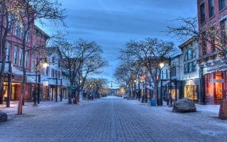
A tour of Burlington's highlights, including Battery Hill, the Church Street Marketplace, and the arts district. Follows 5 miles of the Vermont City Marathon route.
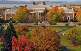
A 5k tour of the University of Vermont campus and nearby paths. Enjoy pretty campus buildings, a farm, athletic fields, and other area highlights. Extend with the Burlington Greenway.
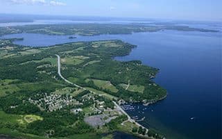
Fantastic running on the Lake Champlain Islands, just north of Burlington. Lake & mountain views, rolling farmland. We've mapped several routes and pointed out the prettiest sections in South Hero, Grand Isle, North Hero, Alburgh, and Isle La Motte.
The Catamount Outdoor Family Center is a treat for runners, with over 20 miles of trails. Situated on two hills, with panoramic views of the Green Mountains, the Winooski River Valley, the Adirondacks and Lake Champlain.
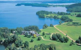
1400 acre working farm, a National Historic Landmark with stunning waterfront views. For runners, there are more than 10 miles of trails. We've put together a loop incorporating the major features at the farm.
Share your feedback on this route and see that of other Great Runs users. Click on the image icon to upload a photo. And please let us know if there are notes or changes we should incorporate!


Review or Comment on This Route/Share a Photo!
Share your feedback on this route and see that of other Great Runs users. Click on the image icon to upload a photo. And please let us know if there are notes or changes we should incorporate!